





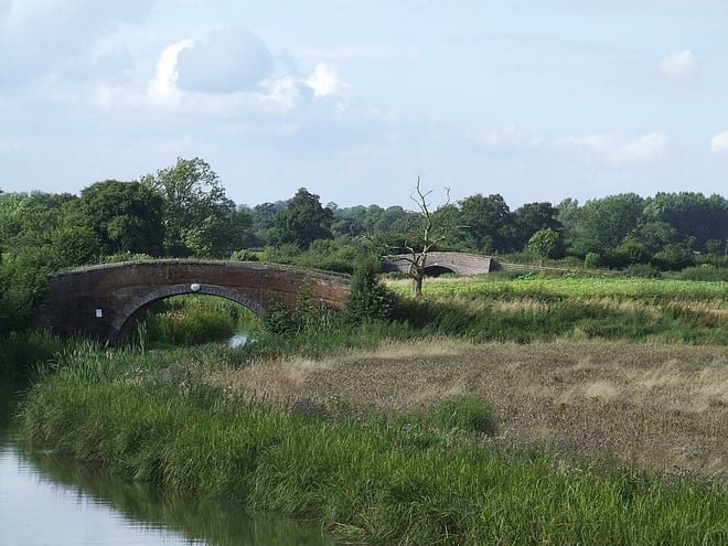
Walk the Ashby-de-la-Zouch Canal by Train
Photo: WhaleyTim (talk) (Uploads), CC BY-SA 3.0, via Wikimedia Commons
The Ashby-de-la-Zouch Canal leaves the Coventry Canal at Bedworth for Leicestershire, built in 1804 to serve the coal mines around Moira near Ashby-de-la-Zouch. Bermuda Park station gives train access to the towpath.
There is 1 station within reach of the Ashby-de-la-Zouch Canal: within 2 miles of it, or half a mile in towns.
The Ashby-de-la-Zouch Canal runs about 22 miles in our route data, including any river sections it follows. The stations below are in order along it.
Ashby-de-la-Zouch Canal train stations
Walking distances are estimates from the straight-line distance and the type of ground, not a measured route. Check a map before you set off.
There-and-back walks
No two stations share a walkable stretch of the Ashby-de-la-Zouch Canal, so these walks head out along the towpath and come back to the same station. The distance is the longest the towpath allows, up to 20 miles; turn round sooner for a shorter walk.
| Station | Out along the towpath | Distance | Time |
|---|---|---|---|
| Bermuda Park | 9.0 mi and back | 20.5 mi | about 7 hours |
Times use Naismith's rule and don't include stops.
Canal routes and towpaths © OpenStreetMap contributors.
More of Ashby-de-la-Zouch Canal
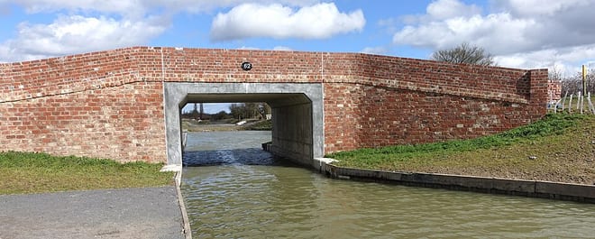
Photo: MaltaGC, CC BY-SA 4.0, via Wikimedia Commons
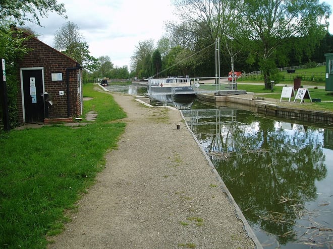
Photo: Bob1960evens, CC BY-SA 3.0, via Wikimedia Commons
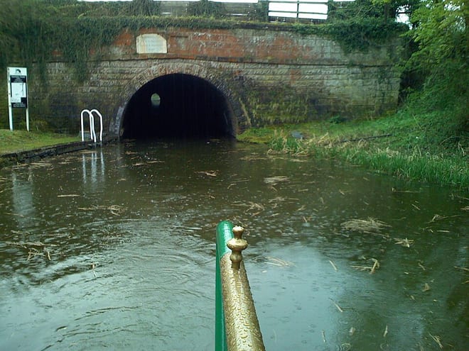
Photo: Sladen, Public domain, via Wikimedia Commons