






Photo: Chembeth, CC BY-SA 4.0, via Wikimedia Commons
The Llyn coast is a Welsh shoreline of rocky headlands, sandy coves, sea cliffs and tidal islets, with the cliffs of Mynydd Mawr looking out to Bardsey Island and the St Tudwal's Islands offshore. Pwllheli station is the nearest railhead, around 9 km away.
There are 0 stations within 5 miles of the Llyn Coast Heritage Coast.
The area is home to 52 DoBIH-listed peaks, the highest being Mynydd Graig Goch at 610m.
Llyn Coast train stations
No stations found within 5 miles of the Llyn Coast Heritage Coast.
Getting there without a car
No railway station lies within 5 miles of the Llyn Coast, so the train only gets you part of the way. These are the nearest stations within 10 miles:
- Pwllheli5.5 mi (about 7 to 8.5 mi on foot)
- Abererch6.6 mi (about 8.5 to 10 mi on foot)Bronze walking rating
- Penychain7.5 mi (about 10 to 11.5 mi on foot)
- Criccieth9.4 mi (about 12 to 14 mi on foot)Silver walking rating
Walking distances are estimates from the straight-line distance and the type of ground, not a measured route. Check a map before you set off.
Good to know
Can you get to the Llyn Coast by train?
Not directly. No station lies within 5 miles of the Llyn Coast; the nearest is Pwllheli, 5.5 miles away (about 7 to 8.5 miles on foot).
More of Llyn Coast
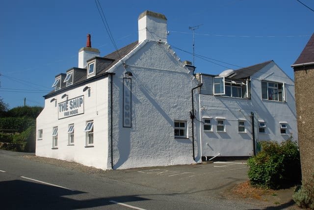
Photo: Alan Fryer, CC BY-SA 2.0, via Geograph
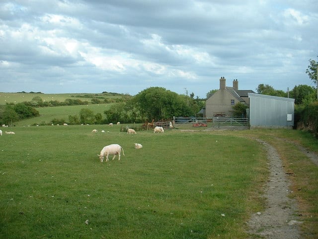
Photo: David Medcalf, CC BY-SA 2.0, via Geograph
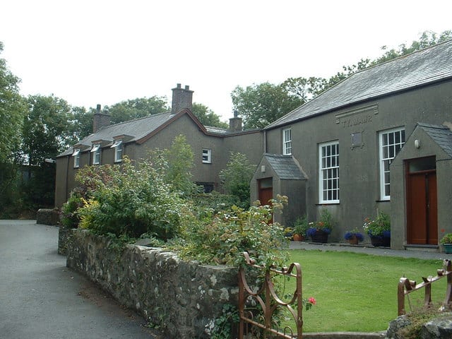
Photo: David Medcalf, CC BY-SA 2.0, via Geograph