






The Roseland Heritage Coast by Train
Photo: EvaK, CC BY-SA 2.5, via Wikimedia Commons
The Roseland is a peaceful Cornish peninsula of creeks, sheltered coves, wooded estuary shores and sea cliffs, with Dodman Point, Carne Beacon and St Anthony Head as coastal landmarks. Truro and St Austell stations are the nearest by land, or Falmouth with a ferry across to St Mawes.
There are 2 stations within 5 miles of the The Roseland Heritage Coast.
The area is home to 24 DoBIH-listed peaks, the highest being Dodman Point at 114m.
A National Trail passes nearby: South West Coast Path.
The Roseland train stations
Walking distances are estimates from the straight-line distance and the type of ground, not a measured route. Check a map before you set off.
Journey times from cities
How soon you can be at the nearest station serving the Roseland Heritage Coast from each city, counting stations just outside the boundary as well as inside it.
- Plymouth to St AustellFrom 1hr 1min
- Exeter to St AustellFrom 2hr 2min
- Bristol to St AustellFrom 3hr 8min
- Bath to St AustellFrom 3hr 28min
- London to St AustellFrom 4hr 9min
- Oxford to St AustellFrom 4hr 17min
- Cardiff to St AustellFrom 4hr 18min
- Southampton to St AustellFrom 4hr 52min
- Birmingham to St AustellFrom 4hr 58min
- Cambridge to St AustellFrom 5hr 31min
- Leicester to St AustellFrom 5hr 35min
- Swansea to St AustellFrom 5hr 35min
- Brighton to St AustellFrom 5hr 44min
- Nottingham to St AustellFrom 6hr 16min
- Sheffield to St AustellFrom 6hr 16min
- Manchester to St AustellFrom 6hr 35min
- Norwich to St AustellFrom 6hr 41min
- Liverpool to St AustellFrom 6hr 53min
- Leeds to St AustellFrom 6hr 56min
- York to St AustellFrom 6hr 59min
- Preston to St AustellFrom 7hr 8min
- Lancaster to St AustellFrom 7hr 28min
Good to know
Can you get to the Roseland Heritage Coast by train?
Yes. 2 stations are within 5 miles of the Roseland Heritage Coast, including Truro and St Austell.
What is the nearest train station to the Roseland Heritage Coast?
Truro, 3.7 miles away (about 5 to 5.5 miles on foot) from the Roseland Heritage Coast.
How long does it take to get to the Roseland Heritage Coast by train?
The Roseland Heritage Coast is 1hr 1min from Plymouth, 2hr 2min from Exeter, 3hr 8min from Bristol and 4hr 9min from London by train, to the nearest station.
More of The Roseland
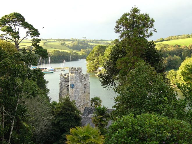
Photo: The original uploader was Nabokov at English Wikipedia., CC BY-SA 3.0, via Wikimedia Commons
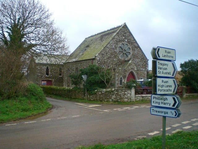
Photo: Kieran Evans, CC BY-SA 2.0, via Geograph
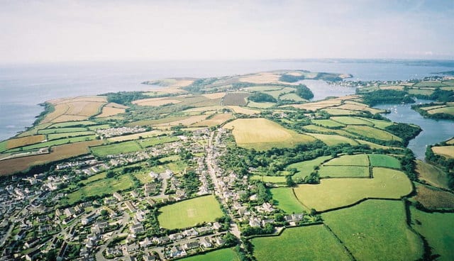
Photo: Dave Price, CC BY-SA 2.0, via Geograph