






Photo: GameKeeper, CC BY-SA 3.0, via Wikimedia Commons
The Chilterns are a chalk landscape of beech woodland, rolling escarpments and hidden valleys, with Coombe Hill, Wendover Woods and Beacon Hill giving wide views across the Vale of Aylesbury. Tring, Wendover, Princes Risborough and Goring and Streatley stations give train access to the Ridgeway and hill walks.
There are 23 stations in or within 1 mile of Chilterns National Landscape.
The area is home to 20 DoBIH-listed peaks, the highest being Wendover Woods [Haddington Hill] at 268m.
National Trails pass through or near the area: Thames Path, The Ridgeway.
Chilterns National Landscape train stations
Best for walkers first: gold, silver and bronze rate the hills, landscape and trails near each.
- Goring & StreatleyBronze walking rating
- Cholsey0.9 mi (about 1 to 1.5 mi on foot)Bronze walking rating
- TringBronze walking rating
- WendoverBronze walking rating
- Little KimbleBronze walking rating
- Monks Risborough0.1 mi (about 0.1 mi on foot)Bronze walking rating
- Princes Risborough0.2 mi (about 0.2 mi on foot)Bronze walking rating
- Pangbourne0.1 mi (about 0.1 mi on foot)Bronze walking rating
- Tilehurst0.5 mi (about 0.6 mi on foot)Bronze walking rating
- Henley-on-Thames0.6 mi (about 0.7 to 0.8 mi on foot)Bronze walking rating
- Bourne End0.7 mi (about 0.8 to 0.9 mi on foot)Bronze walking rating
- Marlow0.8 mi (about 1 mi on foot)Bronze walking rating
- Shiplake0.8 mi (about 1 mi on foot)Bronze walking rating
- Great Missenden
- Berkhamsted
- Saunderton
- Amersham0.1 mi (about 0.1 mi on foot)
- Chalfont & Latimer0.2 mi (about 0.3 mi on foot)
- Chorleywood0.2 mi (about 0.3 mi on foot)
- Harlington (Beds)0.3 mi (about 0.3 mi on foot)
- Beaconsfield0.4 mi (about 0.5 mi on foot)
- Seer Green0.5 mi (about 0.6 to 0.7 mi on foot)
- High Wycombe0.9 mi (about 1 mi on foot)
Walking distances are estimates from the straight-line distance and the type of ground, not a measured route. Check a map before you set off.
Journey times from cities
How soon you can be at the nearest station serving the Chilterns National Landscape from each city, counting stations just outside the boundary as well as inside it.
- London to High WycombeFrom 27min
- Oxford to CholseyFrom 32min
- Bath to CholseyFrom 1hr
- Bristol to CholseyFrom 1hr 13min
- Southampton to TilehurstFrom 1hr 14min
- Leicester to Harlington (Beds)From 1hr 22min
- Cardiff to CholseyFrom 1hr 27min
- Birmingham to TringFrom 1hr 35min
- Nottingham to Harlington (Beds)From 1hr 46min
- Cambridge to Harlington (Beds)From 1hr 57min
- Brighton to Harlington (Beds)From 2hr 9min
- Exeter to TilehurstFrom 2hr 10min
- Manchester to TringFrom 2hr 11min
- Sheffield to Harlington (Beds)From 2hr 30min
- Swansea to TilehurstFrom 2hr 34min
- Liverpool to TringFrom 2hr 42min
- Norwich to Harlington (Beds)From 2hr 51min
- York to Harlington (Beds)From 2hr 53min
- Preston to BerkhamstedFrom 2hr 57min
- Plymouth to TilehurstFrom 3hr 8min
- Leeds to Harlington (Beds)From 3hr 10min
- Lancaster to BerkhamstedFrom 3hr 18min
Good to know
Can you get to the Chilterns National Landscape by train?
Yes. 23 stations are within 1 mile of the Chilterns National Landscape, including Goring & Streatley and Great Missenden.
What is the nearest train station to the Chilterns National Landscape?
7 stations with regular trains are inside the Chilterns National Landscape, including Goring & Streatley, Great Missenden and Saunderton.
How long does it take to get to the Chilterns National Landscape by train?
The Chilterns National Landscape is 27min from London, 32min from Oxford and 1hr from Bath by train, to the nearest station.
More of Chilterns National Landscape
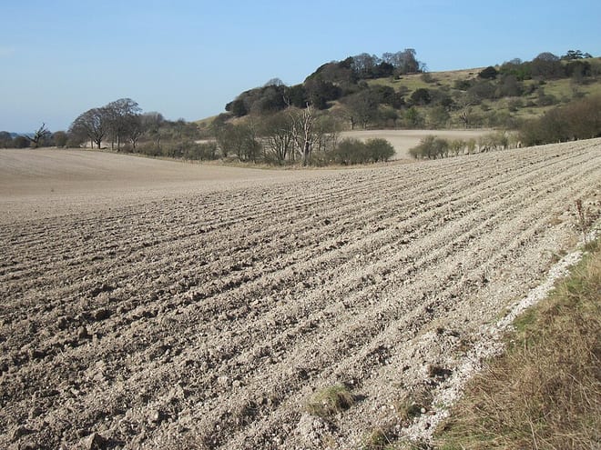
Photo: UKgeofan, CC BY-SA 3.0, via Wikimedia Commons
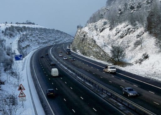
Photo: William Wells, CC BY-SA 2.0, via Wikimedia Commons
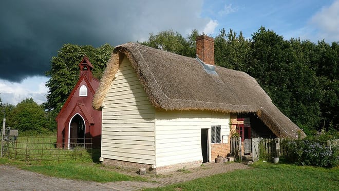
Photo: Mark Percy, CC BY-SA 2.0, via Wikimedia Commons