






Photo: George Evans, CC BY-SA 2.0, via Wikimedia Commons
The Mendip Hills are a limestone landscape of gorges, caves, wooded combes and open heath plateau in Somerset, with Beacon Batch, North Hill and Pen Hill among the high points above the Somerset Levels. Weston-super-Mare station is the nearest railhead for walking the Mendip ridge.
There are 0 stations in or within 1 mile of Mendip Hills National Landscape.
The area is home to 18 DoBIH-listed peaks, the highest being Beacon Batch at 324m.
Mendip Hills National Landscape train stations
No stations found in or within 1 mile of Mendip Hills National Landscape.
Getting there without a car
No railway station lies within 1 mile of the Mendip Hills National Landscape, so the train only gets you part of the way. These are the nearest stations within 10 miles:
- Weston Milton1.7 mi (about 2 to 2.5 mi on foot)
- Weston-super-Mare1.8 mi (about 2 to 2.5 mi on foot)
- Worle2.0 mi (about 2.5 mi on foot)
- Yatton4.1 mi (about 5 to 5.5 mi on foot)
- Nailsea & Backwell5.3 mi (about 6.5 to 7 mi on foot)
Walking distances are estimates from the straight-line distance and the type of ground, not a measured route. Check a map before you set off.
Good to know
Can you get to the Mendip Hills National Landscape by train?
Not directly. No station lies within 1 mile of the Mendip Hills National Landscape; the nearest is Weston Milton, 1.7 miles away (about 2 to 2.5 miles on foot).
More of Mendip Hills National Landscape
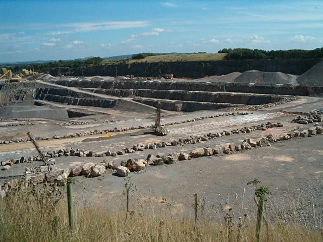
Photo: Patrick Mackie, CC BY-SA 2.0, via Wikimedia Commons
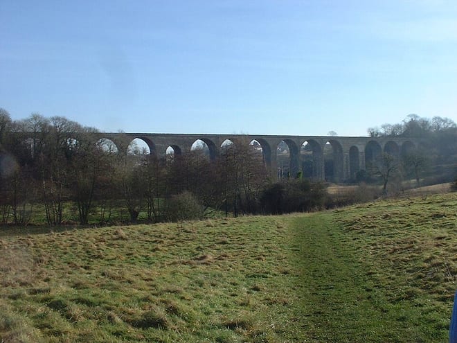
Photo: The original uploader was Rodw at English Wikipedia., CC BY 2.5, via Wikimedia Commons
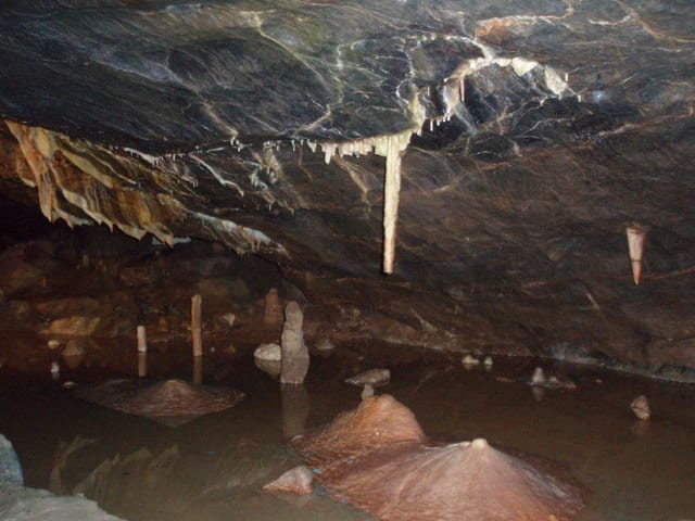
Photo: Gwen and James Anderson, CC BY-SA 2.0, via Wikimedia Commons