





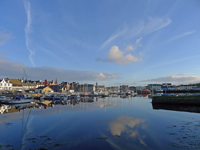
Photo: Julian Paren, CC BY-SA 2.0, via Geograph
South Lewis, Harris and North Uist is an Outer Hebridean landscape of rugged gneiss mountains, white shell sand beaches, sea lochs and machair, with An Cliseam, Mulla bho Dheas and Uisgneabhal Mor rising above the Atlantic. Kyle of Lochalsh is the nearest mainland railhead, with ferries from Skye onward.
There are 0 stations within a mile of South Lewis, Harris and North Uist National Scenic Area.
The area is home to 340 DoBIH-listed peaks, the highest being An Cliseam [Clisham] at 800m.
South Lewis, Harris and North Uist train stations
No stations found within a mile of South Lewis, Harris and North Uist National Scenic Area.
Getting there without a car
No railway station lies within 1 mile of the South Lewis, Harris and North Uist National Scenic Area, so the train only gets you part of the way. There is no station within 10 miles either.
Good to know
Can you get to the South Lewis, Harris and North Uist National Scenic Area by train?
Not directly. No station lies within 1 mile of the South Lewis, Harris and North Uist National Scenic Area. There's no station with regular trains within 10 miles, so plan on a bus or other onward travel.
More of South Lewis, Harris and North Uist
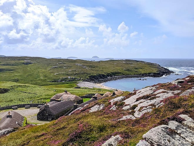
Photo: Clydiee, CC BY-SA 4.0, via Wikimedia Commons
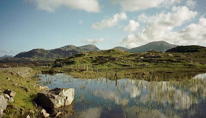
Photo: The original uploader was Solipsist at English Wikipedia., CC BY-SA 1.0, via Wikimedia Commons
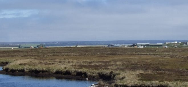
Photo: MRM 14:37, 17 June 2007 (UTC), CC BY 2.5, via Wikimedia Commons