






Walk the Peddars Way and Norfolk Coast Path by Train
Photo: User:Deben Dave, CC BY-SA 3.0, via Wikimedia Commons
The Peddars Way and Norfolk Coast Path pair a straight, quiet track through farmland and heath with a coastal route of salt marsh, sand dunes, shingle beaches and wide skies. Sheringham, West Runton and Cromer stations give train access to the coastal section.
There are 4 stations within 2.9 miles of the Peddars Way and Norfolk Coast Path National Trail.
The route passes 15 DoBIH-listed peaks, the highest being Beacon Hill at 105m.
The Peddars Way and Norfolk Coast Path in brief
- Length
- 158 miles (254 km)
- Time to walk it
- About 11 days
About 4 days on the Peddars Way, then about 7 more along the coast. The Norfolk Coast Path now runs the whole Norfolk coast as part of the King Charles III England Coast Path; the map and stations here follow the original National Trail, from Knettishall Heath to Cromer.
The time is for the whole route; you can also walk it a section at a time.
Peddars Way and Norfolk Coast Path train stations
In the order the route reaches them.
- Harling Road2.8 mi (about 3.5 mi on foot)
- Sheringham0.2 mi (about 0.3 mi on foot)Bronze walking rating
- West Runton0.4 mi (about 0.5 to 0.6 mi on foot)Bronze walking rating
- Cromer0.2 mi (about 0.3 mi on foot) · closestBronze walking rating
Walking distances are estimates from the straight-line distance and the type of ground, not a measured route. Check a map before you set off.
Good to know
How long is the Peddars Way and Norfolk Coast Path?
The Peddars Way and Norfolk Coast Path is 158 miles (254 km) long.
How long does it take to walk the Peddars Way and Norfolk Coast Path?
About 11 days for the whole route. You can also walk it a section at a time, from one station to the next.
Where does the Peddars Way and Norfolk Coast Path start and finish?
It starts at Knettishall Heath and finishes at Hopton-on-Sea.
Which train stations are on the Peddars Way and Norfolk Coast Path?
4 stations are within 2.9 miles of the Peddars Way and Norfolk Coast Path, including Cromer, Sheringham and West Runton, the closest with regular trains.
More of Peddars Way and Norfolk Coast Path
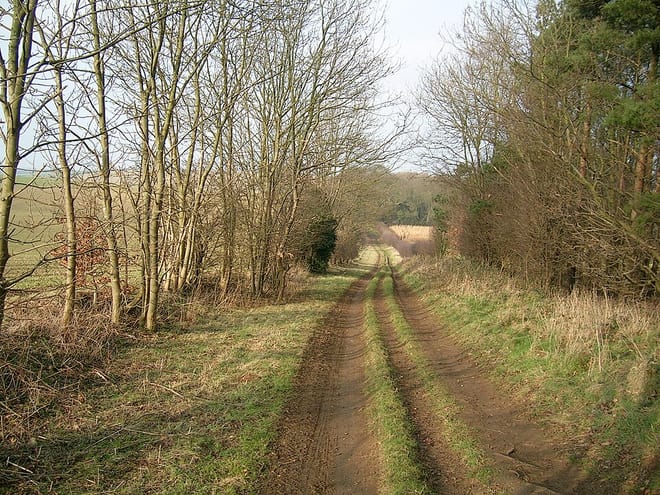
Photo: Michael Perryman, CC BY-SA 3.0, via Wikimedia Commons
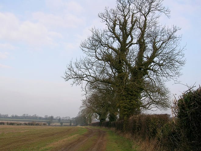
Photo: Michael Perryman, CC BY-SA 3.0, via Wikimedia Commons
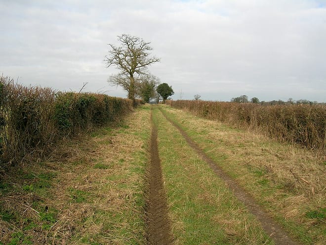
Photo: Michael Perryman, CC BY-SA 3.0, via Wikimedia Commons