





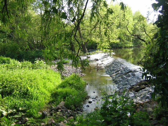
East Linton
- River
- Scotland's Great Trail
- Lake or reservoir
- Peaks nearby
- 30
- highest 92m
- Walking routes
- 4
- within 10 miles
What's on the doorstep
River Tyne (East Lothian)River · 0.1 mi (about 0.2 mi on foot) John Muir WayScotland's Great Trail · 0.2 mi (about 0.3 mi on foot)
Also nearby
Walking distances are estimates from the straight-line distance and the type of ground, not a measured route. Check a map before you set off.
About East Linton
East Linton is a village and former police burgh in East Lothian, Scotland, situated on the River Tyne and A199 road five miles east of Haddington, with an estimated population of 1,790 in 2020. During the 19th century the population increased from 715 inhabitants in 1831 to 1,042 by 1881. The 1961 census showed the village had a population of 1,579. The number dropped significantly at the end of the 20th century, but has subsequently risen again.
Hills, trails and walks from the platform
Walking distances are estimates from the straight-line distance and the type of ground, not a measured route. Check a map before you set off.
| Pencraig Hill | 109m | 1.2 mi (about 1.5 mi on foot) |
| Traprain Law | 221m | 1.6 mi (about 2 to 2.5 mi on foot) |
| Lawhead Hill | 171m | 2.8 mi (about 3.5 to 4 mi on foot) |
| Whitekirk Hill | 77m | 3.0 mi (about 4 to 4.5 mi on foot) |
| Mountlehoy Hill | 172m | 3.2 mi (about 4 to 4.5 mi on foot) |
No National Trails within 10 miles.
Route data © OpenStreetMap contributors, ODbL – coverage and route quality vary by area.
| Core Paths ↗Local | 147.1 mi | 0.1 mi |
| John Muir Way (North Berwick to Dunbar) ↗National | 14.9 mi | 0.2 mi |
| John Muir Link ↗Regional | 10.9 mi | 5.5 mi |
| John Muir Way (Prestonpans to North Berwick) ↗National | 16.0 mi | 5.6 mi |