





Aberystwyth Rail Station
- River
- Heritage Coast
- Peaks nearby
- 30
- highest 78m
- Walking routes
- 5
- within 10 miles
What's on the doorstep
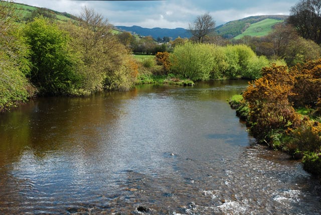
Afon RheidolRiver · 0.2 mi (about 0.3 mi on foot) Ceredigion CoastHeritage Coast · 1.5 mi (about 2 to 2.5 mi on foot)
Walking distances are estimates from the straight-line distance and the type of ground, not a measured route. Check a map before you set off.
About Aberystwyth Rail Station
Aberystwyth is a university and seaside town and a community in Ceredigion, Wales. It is the largest town in Ceredigion and 16 miles (26 km) from Aberaeron, the county's other administrative centre. In 2021, the population of the town was 14,640.
Source: Wikipedia, CC BY-SA.
Hills, trails and walks from the platform
Walking distances are estimates from the straight-line distance and the type of ground, not a measured route. Check a map before you set off.
| Pendinas | 128m | 0.9 mi (about 1 mi on foot) |
| Penglais | 152m | 1.2 mi (about 1.5 mi on foot) |
| Coed Tanycastell | 78m | 1.6 mi (about 2 to 2.5 mi on foot) |
| Ffynnon Caradog | 145m | 1.9 mi (about 2.5 mi on foot) |
| Pen Bwlch-mawr | 160m | 2.2 mi (about 3 mi on foot) |
No National Trails within 10 miles.
Route data © OpenStreetMap contributors, ODbL – coverage and route quality vary by area.
| Ceredigion Coast Path ↗Regional | 71.6 mi | 0.2 mi |
| The Miners' Trail ↗ | 1.4 mi | 8.2 mi |
| Ridgetop Trail ↗ | 1.9 mi | 8.2 mi |
| Wales Coast Path (Meirionnydd) ↗Regional | 64.6 mi | 8.9 mi |
| Cambrian Way ↗National | 300.1 mi | 9.1 mi |