





Acocks Green Rail Station
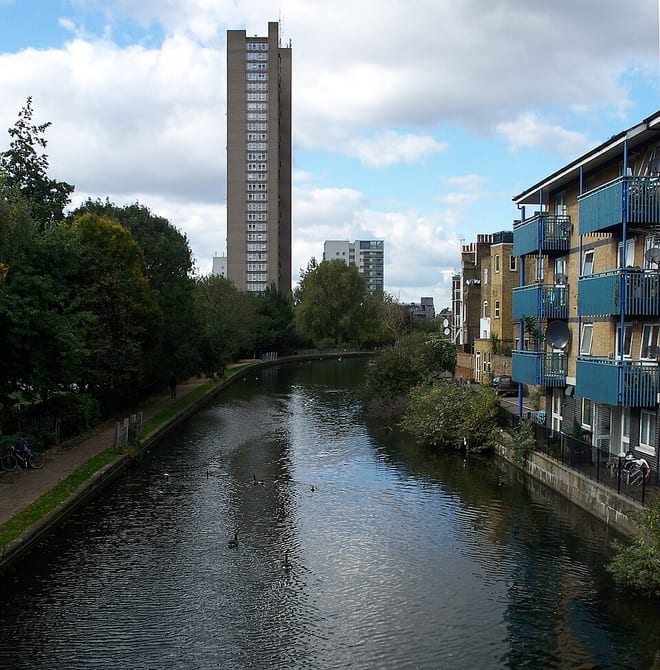
- Canal
- Peaks nearby
- 11
- highest 298m
- Walking routes
- 20
- within 10 miles
What's on the doorstep
Walking distances are estimates from the straight-line distance and the type of ground, not a measured route. Check a map before you set off.
About Acocks Green Rail Station
Acocks Green is a blooming area and headward of southeast Birmingham, England. It is named after the Acocks family, who built a large house there in 1370. It is occasionally spelled "Acock's Green", and has frequently been noted on lists of unusual place names.
Source: Wikipedia, CC BY-SA.
Hills, trails and walks from the platform
Walking distances are estimates from the straight-line distance and the type of ground, not a measured route. Check a map before you set off.
| High Hill | 208m | 7.1 mi (about 9 to 10 mi on foot) |
| Warley Park | 236m | 7.3 mi (about 9.5 to 10.5 mi on foot) |
| Moorgreen Hill | 177m | 7.6 mi (about 10 to 11 mi on foot) |
| Wood End Hill | 185m | 8.3 mi (about 11 to 12 mi on foot) |
| Frankley Beeches | 256m | 8.5 mi (about 11 to 12.5 mi on foot) |
No National Trails within 10 miles.
Route data © OpenStreetMap contributors, ODbL – coverage and route quality vary by area.
| Acocks Green Heritage Trail ↗Local | 4.4 mi | 0.0 mi |
| Grand Union Canal Walk ↗Regional | 39.0 mi | 0.2 mi |
| Rail Trail: Olton > Shirley ↗Local | 7.9 mi | 0.2 mi |
| Millstream Way ↗Local | 2.7 mi | 1.3 mi |
| Rail Trail: Marston Green Circular via Elmdon ↗Local | 5.0 mi | 2.1 mi |