





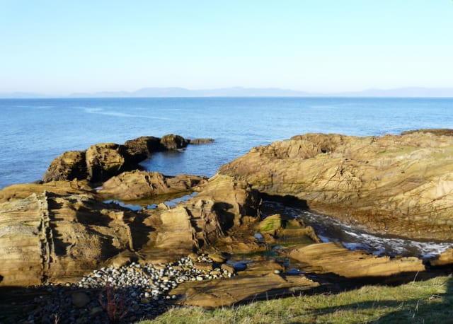
Ardgay Rail Station
- National Scenic Area
- Special Area of Conservation
- Peaks nearby
- 30
- highest 648m
- Walking routes
- 8
- within 10 miles
What's on the doorstep
Dornoch FirthNational Scenic AreaAlso nearby
- Dornoch Firth and Morrich More
Special Area of Conservation
Walking distances are estimates from the straight-line distance and the type of ground, not a measured route. Check a map before you set off.
About Ardgay Rail Station
Ardgay ard-GY ["high wind"] is a small Scottish village on the south west shore of the Dornoch Firth, Sutherland. It lies 1 mile south of Bonar Bridge, where the River Carron flows into the Kyle of Sutherland.
Source: Wikipedia, CC BY-SA.
Hills, trails and walks from the platform
Walking distances are estimates from the straight-line distance and the type of ground, not a measured route. Check a map before you set off.
| Cnoc na Moine | 132m | 1.0 mi (about 1.5 mi on foot) |
| Church Hill | 206m | 1.5 mi (about 2 mi on foot) |
| Cona' chreag | 301m | 2.7 mi (about 3.5 to 4 mi on foot) |
| Migdale Rock | 231m | 3.2 mi (about 4 to 4.5 mi on foot) |
| Sidhean Mor | 251m | 3.2 mi (about 4 to 4.5 mi on foot) |
No National Trails within 10 miles.
Route data © OpenStreetMap contributors, ODbL – coverage and route quality vary by area.
| Central Sutherland Crater Walk ↗Local | 6.6 mi | 9.1 mi |
| Balloan – Lairg Core Path ↗Local | 0.7 mi | 9.3 mi |
| Ord Hill Trail ↗ | 1.2 mi | 9.4 mi |
| John O'Groats Trail (Tain to Dornoch) ↗Local | 8.8 mi | 9.4 mi |
| Gunns Wood Core Path ↗Local | 1.4 mi | 9.6 mi |