





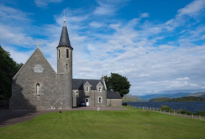
Arisaig Rail Station
- National Scenic Area
- Lake or reservoir
- Peaks nearby
- 30
- highest 95m
- Walking routes
- 1
- within 10 miles
What's on the doorstep
Morar, Moidart and ArdnamurchanNational Scenic Area · 0.9 mi (about 1 mi on foot)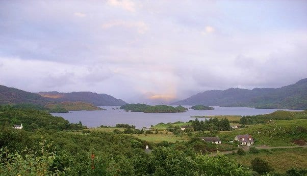 Loch MòrarLake or reservoir · 2.9 mi (about 3.5 to 4 mi on foot)
Walking distances are estimates from the straight-line distance and the type of ground, not a measured route. Check a map before you set off.
About Arisaig Rail Station
Arisaig is a village in Lochaber, Inverness-shire. It lies 7 miles south of Mallaig on the west coast of the Scottish Highlands, within the Rough Bounds. Arisaig is also the traditional name for part of the surrounding peninsula south of Loch Morar, extending east to Moidart. Etymologically, Arisaig means "safe bay". It lies in the Scottish council area of Highland and has a population of about 300.
Ferry connections
Island ferries sail from the terminal a short walk from Arisaig station. Check sailings with the operator before you travel: some run less often in winter, and all depend on the weather.
- Eigg, Muck and RùmArisaig MarineMid April to the end of September
Hills, trails and walks from the platform
Walking distances are estimates from the straight-line distance and the type of ground, not a measured route. Check a map before you set off.
| Strath of Arisaig | 51m | 0.8 mi (about 1 mi on foot) |
| Torr an t-Sagairt | 84m | 0.9 mi (about 1 to 1.5 mi on foot) |
| Monadh na Ceapaich | 76m | 1.0 mi (about 1.5 mi on foot) |
| Druim an Dubh-leathaid | 126m | 1.5 mi (about 2 mi on foot) |
| Torr Mor Ghaoideil | 155m | 1.6 mi (about 2 to 2.5 mi on foot) |
No National Trails within 10 miles.
Route data © OpenStreetMap contributors, ODbL – coverage and route quality vary by area.
| Silver Walk ↗Local | 3.9 mi | 8.8 mi |