






Arnside Rail Station
- National Landscape
- River
- Special Area of Conservation
- National Park
- Peaks nearby
- 30
- highest 91m
- Walking routes
- 20
- within 10 miles
What's on the doorstep
Arnside & Silverdale National LandscapeNational Landscape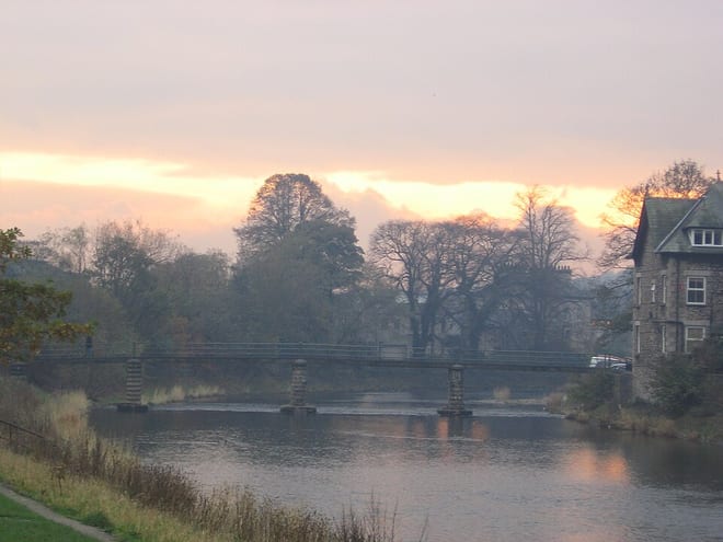 River KentRiver · 0.1 mi (about 0.1 mi on foot)
 Lake DistrictNational Park · 0.4 mi (about 0.5 to 0.6 mi on foot)
Also nearby
Walking distances are estimates from the straight-line distance and the type of ground, not a measured route. Check a map before you set off.
About Arnside Rail Station
Arnside is a village and civil parish in Westmorland and Furness, Cumbria, England. It is historically part of Westmorland, near the border with Lancashire, England. The Lake District National Park is located a few miles north. Travelling by road, Arnside is 10 miles (16 km) to the south of Kendal, 25.3 miles (40.7 km) to the east of Ulverston, 35.2 miles (56.6 km) to the east of Barrow-in-Furness, 13 miles (21 km) to the north of Lancaster and 14.3 miles (23.0 km) to the east of Grange-over-Sands. In the 2001 census the parish had a population of 2,301, increasing at the 2011 census to 2,334 but falling to 2,233 in the 2021 census.
Hills, trails and walks from the platform
Walking distances are estimates from the straight-line distance and the type of ground, not a measured route. Check a map before you set off.
| Arnside KnottM | 159m | 0.9 mi (about 1 to 1.5 mi on foot) |
| Middlebarrow Hill | 91m | 1.4 mi (about 2 mi on foot) |
| Meathop Fell | 59m | 1.5 mi (about 2 mi on foot) |
| Whin Scar | 117m | 1.8 mi (about 2.5 mi on foot) |
| Haverbrack Bank | 110m | 1.9 mi (about 2.5 mi on foot) |
No National Trails within 10 miles.
Route data © OpenStreetMap contributors, ODbL – coverage and route quality vary by area.
| Arnside Knott Circular Walk, Arnside/Silverdale ↗Local | 1.8 mi | 0.9 mi |
| Storth Trail ↗Local | 2.0 mi | 1.1 mi |
| Arnside Knott Tramper Trail, Arnside/Silverdale ↗Local | 1.1 mi | 1.1 mi |
| Cumbria Coastal Way ↗Regional | 66.9 mi | 1.5 mi |
| Eaves Wood Circular Walk, Arnside/Silverdale ↗Local | 1.9 mi | 1.6 mi |