





Aylesbury Rail Station
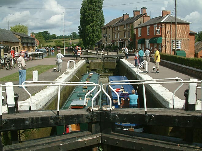
- Canal
- Peaks nearby
- 20
- highest 268m
- Walking routes
- 21
- within 10 miles
What's on the doorstep
Walking distances are estimates from the straight-line distance and the type of ground, not a measured route. Check a map before you set off.
About Aylesbury Rail Station
Aylesbury is the county town of Buckinghamshire, England. It is located midway between High Wycombe and Milton Keynes. In 2021, Aylesbury civil parish had a population of 63,273, while its urban area had a population of 87,950; the housing target for the town is set to grow, with 16,000 homes to be built by 2033. It is home to the Roald Dahl Children's Gallery and the Waterside Theatre; the town's Queens Park Arts Centre received the King's Award for Voluntary Service.
Hills, trails and walks from the platform
Walking distances are estimates from the straight-line distance and the type of ground, not a measured route. Check a map before you set off.
| Burn Hill | 117m | 2.5 mi (about 3.5 mi on foot) |
| Waddesdon Hill | 147m | 3.9 mi (about 5 to 5.5 mi on foot) |
| Coombe Hill | 260m | 4.7 mi (about 6 to 7 mi on foot) |
| Beacon Hill | 230m | 4.7 mi (about 6 to 7 mi on foot) |
| Pulpit Hill | 248m | 5.3 mi (about 7 to 7.5 mi on foot) |
| The Ridgeway ↗ | 86.3 mi | 4.6 mi |
Route data © OpenStreetMap contributors, ODbL – coverage and route quality vary by area.
| Stoke Mandeville Way ↗Local | 3.1 mi | 0.1 mi |
| Grand Union Canal (Aylesbury Arm) Walk ↗Regional | 6.3 mi | 0.3 mi |
| Round Aylesbury Walk ↗Local | 13.1 mi | 0.8 mi |
| North Bucks Way ↗Regional | 34.4 mi | 1.6 mi |
| Thame Valley Walk ↗Local | 14.8 mi | 1.6 mi |