





Bargoed Rail Station
- River
- National Nature Reserve
- Special Area of Conservation
- Peaks nearby
- 30
- highest 551m
- Walking routes
- 9
- within 10 miles
What's on the doorstep
Rhymney RiverRiver · 0.1 mi (about 0.1 mi on foot)Also nearby
- Aberbargoed Grasslands/Glaswelltiroedd Aberbargoed
National Nature Reserve
0.6 mi (about 0.7 to 0.8 mi on foot)
Walking distances are estimates from the straight-line distance and the type of ground, not a measured route. Check a map before you set off.
About Bargoed Rail Station
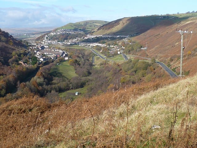
Bargoed is a town and community in the Rhymney Valley, Wales, one of the South Wales Valleys. It lies on the Rhymney River in the county borough of Caerphilly. It straddles the ancient boundary of Glamorgan and Monmouthshire, with Bargoed lying in Glamorgan and Aberbargoed in Monmouthshire. 'Greater Bargoed', as defined by the local authority Caerphilly County Borough Council, consists of the towns of Bargoed and Aberbargoed and the village of Gilfach. The combined population of these settlements is about 13,000. The town's rugby club Bargoed RFC holds the world record for the most consecutive league wins in a row and was World Rugby magazine's team of the year in 2005.
Hills, trails and walks from the platform
Walking distances are estimates from the straight-line distance and the type of ground, not a measured route. Check a map before you set off.
| Parc Coetir Bargoed | 216m | 0.5 mi (about 0.7 to 0.8 mi on foot) |
| Craig y Felin | 352m | 1.8 mi (about 2.5 mi on foot) |
| Mynydd Pen-y-fan | 407m | 2.9 mi (about 3.5 to 4 mi on foot) |
| Coed yr Hendre | 413m | 3.0 mi (about 4 to 4.5 mi on foot) |
| Cefn y Brithdir | 446m | 3.3 mi (about 4.5 to 5 mi on foot) |
No National Trails within 10 miles.
Route data © OpenStreetMap contributors, ODbL – coverage and route quality vary by area.
| Rhymney Valley Ridgeway Walk ↗Regional | 28.0 mi | 3.2 mi |
| Taff Trail ↗Regional | 63.0 mi | 4.1 mi |
| Pontypridd Circular ↗Local | 9.6 mi | 6.5 mi |
| Cambrian Way ↗National | 300.1 mi | 7.0 mi |
| Forge Walk ↗Local | 2.9 mi | 7.6 mi |