






Blaenau Ffestiniog Rail Station
- National Park
- Lake or reservoir
- Peaks nearby
- 30
- highest 770m
- Walking routes
- 20
- within 10 miles
What's on the doorstep
Eryri / SnowdoniaNational Park · 1.0 mi (about 1.5 mi on foot)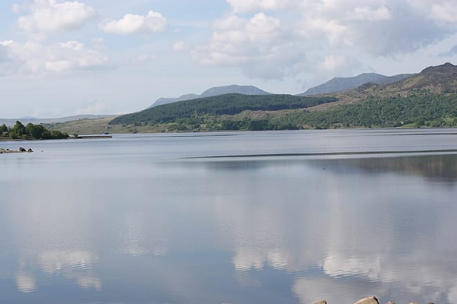 Llyn TrawsfynyddLake or reservoir · 4.7 mi (about 5.5 to 6.5 mi on foot)
Walking distances are estimates from the straight-line distance and the type of ground, not a measured route. Check a map before you set off.
About Blaenau Ffestiniog Rail Station
Blaenau Ffestiniog is a town in Gwynedd, Wales. Once a slate mining centre in historic Merionethshire, it now relies heavily on tourism, drawn to the Ffestiniog Railway and Llechwedd Slate Caverns. Its population reached 12,000 at the peak of the slate industry, and fell with the decline in demand for slate. The population of the community, including the nearby village Llan Ffestiniog, was 4,875 at the 2011 census – the fourth most populous in Gwynedd after Bangor, Caernarfon and Llandeiniolen. The population, not including Llan, is now about 4,000.
Hills, trails and walks from the platform
Walking distances are estimates from the straight-line distance and the type of ground, not a measured route. Check a map before you set off.
| Garreg Ddu | 348m | 0.2 mi (about 0.3 mi on foot) |
| Cefn Bychan | 245m | 0.4 mi (about 0.5 mi on foot) |
| Cefn Trwsgl | 242m | 0.9 mi (about 1 to 1.5 mi on foot) |
| Craig Nyth-y-Gigfran [Y Blaen Llym]D | 554m | 1.0 mi (about 1 to 1.5 mi on foot) |
| Manod BachD | 511m | 1.1 mi (about 1.5 mi on foot) |
No National Trails within 10 miles.
Route data © OpenStreetMap contributors, ODbL – coverage and route quality vary by area.
| Llwybr Llechi Eryri ↗Regional | 84.3 mi | 0.1 mi |
| Cambrian Way ↗National | 300.1 mi | 2.0 mi |
| Craflwyn, Hafod y Llan and Llyn Dinas walk, Craflwyn ↗Local | 6.8 mi | 5.2 mi |
| Watkin Path ↗Local | 4.9 mi | 5.4 mi |
| Aberglaslyn, Llyn Dinas and Cwm Bychan walk, Eifionydd ↗Local | 9.4 mi | 5.7 mi |