






Blair Atholl Rail Station
- National Park
- Special Area of Conservation
- River
- Lake or reservoir
- Peaks nearby
- 30
- highest 722m
- Walking routes
- 20
- within 10 miles
What's on the doorstep
Cairngorms National ParkNational Park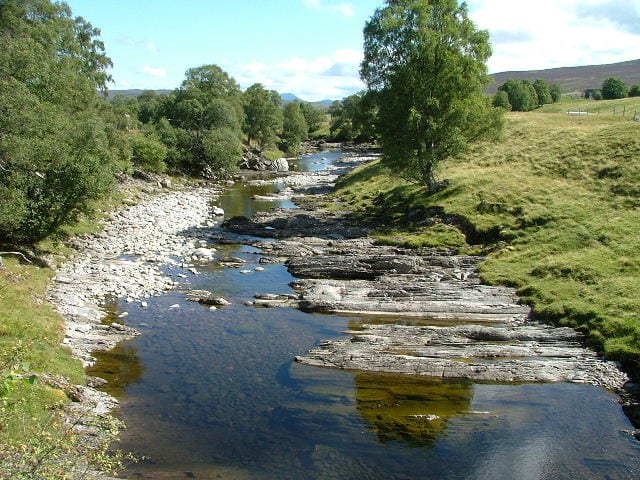 River GarryRiver · 0.1 mi (about 0.1 to 0.2 mi on foot)
Also nearby
- River Tay
Special Area of Conservation
Walking distances are estimates from the straight-line distance and the type of ground, not a measured route. Check a map before you set off.
About Blair Atholl Rail Station
Blair Atholl is a village in Perthshire, Scotland, built about the confluence of the Rivers Tilt and Garry in one of the few areas of flat land in the midst of the Grampian Mountains. The Gaelic place-name Blair, from blàr, 'field, plain', refers to this location. Atholl, which means 'new Ireland', from the archaic Ath Fhodla is the name of the surrounding district.
Hills, trails and walks from the platform
Walking distances are estimates from the straight-line distance and the type of ground, not a measured route. Check a map before you set off.
| Tulach Hill | 470m | 1.0 mi (about 1.5 mi on foot) |
| Creag nan Ceard | 432m | 1.9 mi (about 2.5 to 3 mi on foot) |
| Fair Bhuidhe | 462m | 2.2 mi (about 3 mi on foot) |
| Meall na h-Imrich | 420m | 2.4 mi (about 3 to 3.5 mi on foot) |
| Creag an Eirionnaich | 443m | 2.5 mi (about 3.5 mi on foot) |
No National Trails within 10 miles.
Route data © OpenStreetMap contributors, ODbL – coverage and route quality vary by area.
| Public Footpath to Blair Atholl ↗Local | 2.3 mi | 0.2 mi |
| Red Squirrel Walk ↗Local | 1.0 mi | 0.4 mi |
| Sculpture Trail ↗Local | 1.4 mi | 0.6 mi |
| Glen Tilt Trail ↗Local | 9.4 mi | 0.7 mi |
| Glen Banvie Trail ↗Local | 10.4 mi | 0.7 mi |