





Blackrod Rail Station
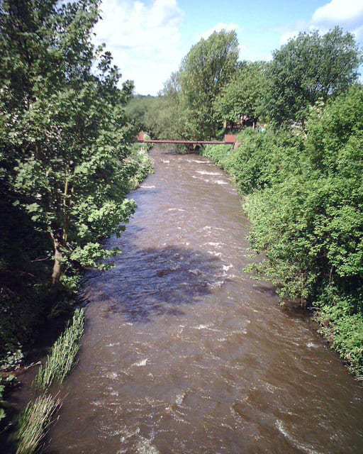
- River
- Peaks nearby
- 25
- highest 457m
- Walking routes
- 15
- within 10 miles
What's on the doorstep
Walking distances are estimates from the straight-line distance and the type of ground, not a measured route. Check a map before you set off.
About Blackrod Rail Station
Blackrod is a town and civil parish situated within the Metropolitan Borough of Bolton in Greater Manchester, England. Nestled in the historic county of Lancashire, Blackrod is approximately four miles northeast of Wigan and 6+1⁄2 miles west of Bolton. According to the 2011 United Kingdom census, the town has a population of 5,345. Blackrod was once a centre for coal mining.
Hills, trails and walks from the platform
Walking distances are estimates from the straight-line distance and the type of ground, not a measured route. Check a map before you set off.
| Blackrod | 163m | 0.7 mi (about 1 mi on foot) |
| Haigh | 161m | 1.5 mi (about 2 mi on foot) |
| Roscoe Lowe Hill | 162m | 1.7 mi (about 2 to 2.5 mi on foot) |
| Winter Hill (boundary) | 449m | 3.4 mi (about 4.5 to 5 mi on foot) |
| Winter HillM | 457m | 3.5 mi (about 4.5 to 5 mi on foot) |
No National Trails within 10 miles.
Route data © OpenStreetMap contributors, ODbL – coverage and route quality vary by area.
| GM Ringway Stage 14 ↗Regional | 13.9 mi | 0.0 mi |
| GM Ringway Stage 15 ↗Regional | 10.3 mi | 0.0 mi |
| Adlington Circular Walk ↗ | 1.6 mi | 1.9 mi |
| Rotary Way ↗Local | 0.6 mi | 2.2 mi |
| Wigan Way ↗ | 0.1 mi | 2.5 mi |