





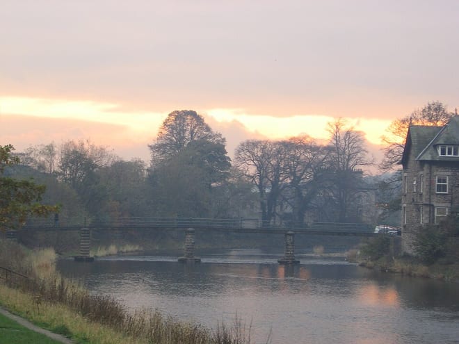
Burneside (Cumbria) Rail Station
- River
- Special Area of Conservation
- National Park
- Peaks nearby
- 30
- highest 93m
- Walking routes
- 20
- within 10 miles
What's on the doorstep
River KentRiver · 0.1 mi (about 0.1 mi on foot) Lake DistrictNational Park · 0.6 mi (about 0.7 to 0.8 mi on foot)
Also nearby
Walking distances are estimates from the straight-line distance and the type of ground, not a measured route. Check a map before you set off.
About Burneside (Cumbria) Rail Station
Burneside is a small village in Westmorland and Furness, Cumbria, England. It is located to the north of Kendal and to the south east of Staveley, on the River Kent, just upstream from the confluence of the River Sprint. It has about 3,000 inhabitants. By the time of the 2011, Census Burneside had been transformed into an electoral ward only. The population of this ward was 1,888. The village is split between the civil parishes of Strickland Ketel, to the west of the River Kent, and Strickland Roger to the east.
Hills, trails and walks from the platform
Walking distances are estimates from the straight-line distance and the type of ground, not a measured route. Check a map before you set off.
| Cunswick Scar | 207m | 1.1 mi (about 1.5 mi on foot) |
| Cowan Head | 141m | 1.4 mi (about 2 mi on foot) |
| Kendal Fell | 198m | 1.6 mi (about 2 to 2.5 mi on foot) |
| Capple Rigg | 142m | 1.9 mi (about 2.5 mi on foot) |
| High Thorn Hill | 214m | 2.2 mi (about 3 mi on foot) |
No National Trails within 10 miles.
Route data © OpenStreetMap contributors, ODbL – coverage and route quality vary by area.
| Dales Way ↗Regional | 80.5 mi | 0.3 mi |
| Kendal to Sizergh along the River Kent, Sizergh ↗Local | 5.6 mi | 2.0 mi |
| Scout Scar ↗Local | 0.1 mi | 2.3 mi |
| Church Fell walk, Sizergh ↗Local | 2.2 mi | 4.3 mi |
| Park End Moss Wetland Walk at Sizergh ↗Local | 2.7 mi | 4.4 mi |