





Barnsley Rail Station
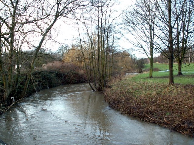
- River
- Peaks nearby
- 29
- highest 96m
- Walking routes
- 20
- within 10 miles
What's on the doorstep
Walking distances are estimates from the straight-line distance and the type of ground, not a measured route. Check a map before you set off.
About Barnsley Rail Station
Barnsley is a market town in South Yorkshire, England. It is the main settlement of the Metropolitan Borough of Barnsley and the fourth largest settlement in South Yorkshire. The town's population was recorded as 71,599 at the 2021 census, while the wider borough has a population of 251,770.
Source: Wikipedia, CC BY-SA.
Hills, trails and walks from the platform
Walking distances are estimates from the straight-line distance and the type of ground, not a measured route. Check a map before you set off.
| Monk Bretton | 119m | 1.1 mi (about 1.5 mi on foot) |
| Dodworth Hill | 192m | 2.1 mi (about 2.5 to 3 mi on foot) |
| Lees Hill | 105m | 2.5 mi (about 3.5 mi on foot) |
| Stainborough Castle | 204m | 3.0 mi (about 4 to 4.5 mi on foot) |
| Champany Hill | 195m | 3.1 mi (about 4 to 4.5 mi on foot) |
No National Trails within 10 miles.
Route data © OpenStreetMap contributors, ODbL – coverage and route quality vary by area.
| Dearne Way ↗Regional | 16.7 mi | 0.3 mi |
| Trans-Pennine Trail (Wombwell to Leeds) ↗Regional | 30.0 mi | 1.7 mi |
| Trans-Pennine Trail (Silkstone Common to Wombwell) ↗Regional | 7.3 mi | 1.7 mi |
| Royston & Carlton Boundary Walk ↗Local | 8.4 mi | 2.0 mi |
| Trans-Pennine Trail (Wombwell to Selby) ↗Regional | 46.2 mi | 3.0 mi |