






Bridge of Orchy Rail Station
- Scotland's Great Trail
- National Scenic Area
- Wild Land Area
- National Park
- Lake or reservoir
- Peaks nearby
- 30
- highest 1000m
- Walking routes
- 10
- within 10 miles
What's on the doorstep
West Highland WayScotland's Great Trail Ben Nevis and Glen CoeNational Scenic Area · 0.9 mi (about 1 mi on foot)
 Breadalbane - SchiehallionWild Land Area · 1.1 mi (about 1.5 mi on foot)
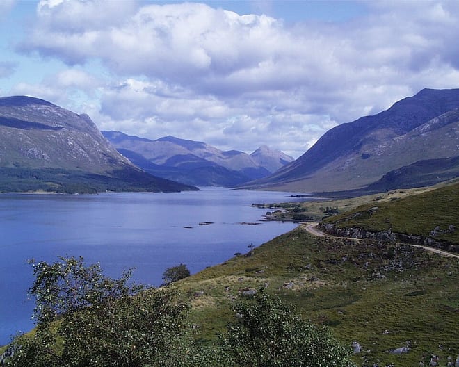 Loch Etive mountainsWild Land Area · 1.3 mi (about 1.5 mi on foot)
 Loch Lomond and The Trossachs National ParkNational Park · 4.1 mi (about 5 to 5.5 mi on foot)
Also nearby
Walking distances are estimates from the straight-line distance and the type of ground, not a measured route. Check a map before you set off.
About Bridge of Orchy Rail Station
Bridge of Orchy is a village in Glen Orchy in Argyll and Bute, Scotland. It is named after the crossing over the River Orchy, which was constructed by British Army during the pacification of the Highland Clans following the Battle of Culloden in 1746. Military roads were built between the Scottish Lowlands and Highlands of northern Scotland to facilitate the speedy movement of Crown forces.
Hills, trails and walks from the platform
Walking distances are estimates from the straight-line distance and the type of ground, not a measured route. Check a map before you set off.
| Carn Sasunnaich [Beinn Dorain North Top] | 1065m | 1.7 mi (about 2.5 mi on foot) |
| Beinn DorainMuM | 1076m | 1.8 mi (about 2.5 to 3 mi on foot) |
| Beinn an Dothaidh West Top | 1000m | 1.9 mi (about 2.5 to 3 mi on foot) |
| Ben Inverveigh | 638m | 2.0 mi (about 3 mi on foot) |
| Beinn an DothaidhMuM | 1002m | 2.1 mi (about 3 to 3.5 mi on foot) |
No National Trails within 10 miles.
Route data © OpenStreetMap contributors, ODbL – coverage and route quality vary by area.
| West Highland Way (Tyndrum to Inveroran) ↗National | 8.9 mi | 0.0 mi |
| Bridge of Orchy to Auch (On WHW) ↗National | 3.3 mi | 0.0 mi |
| Catnish to Bridge of Orchy ↗Local | 7.3 mi | 0.3 mi |
| West Highland Way (Inveroran to Kingshouse) ↗National | 9.7 mi | 2.0 mi |
| Auch to Glen Lyon ↗Local | 12.4 mi | 2.8 mi |