





Bridgwater Rail Station
- River
- Canal
- Peaks nearby
- 16
- highest 98m
- Walking routes
- 19
- within 10 miles
What's on the doorstep
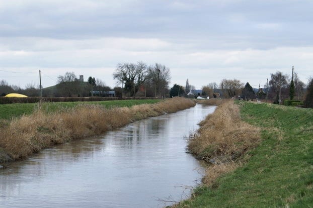
River ParrettRiver · 0.4 mi (about 0.5 mi on foot)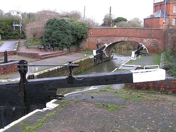 Bridgwater and Taunton CanalCanal · 0.5 mi (about 0.6 to 0.7 mi on foot)
Walking distances are estimates from the straight-line distance and the type of ground, not a measured route. Check a map before you set off.
About Bridgwater Rail Station
Bridgwater is a historic market town and civil parish in Somerset, England. It lies on the River Parrett at the edge of the Somerset Levels. The parish had a population of 38,310, at the time of the 2021 census, while the wider built-up area had a population of 47,860. The town plays host to an annual carnival in November, the largest of the Somerset carnivals.
Hills, trails and walks from the platform
Walking distances are estimates from the straight-line distance and the type of ground, not a measured route. Check a map before you set off.
| Knowle Hill | 71m | 2.6 mi (about 3.5 mi on foot) |
| Pendon Hill | 53m | 3.1 mi (about 4 to 4.5 mi on foot) |
| Horn Hill | 80m | 4.4 mi (about 5.5 to 6.5 mi on foot) |
| Socombe Hill | 98m | 5.0 mi (about 6.5 to 7 mi on foot) |
| Burrow Mump | 33m | 5.1 mi (about 6.5 to 7.5 mi on foot) |
No National Trails within 10 miles.
Route data © OpenStreetMap contributors, ODbL – coverage and route quality vary by area.
| Somerset Space Walk ↗Local | 13.4 mi | 0.5 mi |
| River Parrett Trail ↗Regional | 54.1 mi | 0.5 mi |
| Samaritans Way South West ↗Regional | 35.4 mi | 0.7 mi |
| King Charles III England Coast Path: Brean Down to Minehead ↗National | 60.3 mi | 0.8 mi |
| Mary Michael Pilgrims Way ↗Regional | 65.1 mi | 3.2 mi |