





Brigg Rail Station
- River
- Peaks nearby
- 5
- highest 77m
- Walking routes
- 4
- within 10 miles
What's on the doorstep
Walking distances are estimates from the straight-line distance and the type of ground, not a measured route. Check a map before you set off.
About Brigg Rail Station
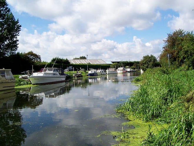
Brigg (/'brɪg/) is a market town and civil parish in the North Lincolnshire district, in Lincolnshire, England, with a population of 5,636 at the 2021 census. The town lies at the junction of the River Ancholme and east–west transport routes across northern Lincolnshire. As a formerly important local centre, the town's full name of Glanford Brigg is reflected in the surrounding area and former local government district of the same name. The town's urban area includes the neighbouring hamlet of Scawby Brook.
Hills, trails and walks from the platform
Walking distances are estimates from the straight-line distance and the type of ground, not a measured route. Check a map before you set off.
| Ash Holt | 75m | 5.3 mi (about 7 to 7.5 mi on foot) |
| Saxby Wold | 102m | 6.4 mi (about 8.5 to 9.5 mi on foot) |
| Sheffield's Hill | 77m | 7.5 mi (about 10 to 11 mi on foot) |
| Read's Island | 5m | 9.7 mi (about 12.5 to 14 mi on foot) |
| Normanby Top [The Wolds]M | 168m | 9.7 mi (about 12.5 to 14 mi on foot) |
No National Trails within 10 miles.
Route data © OpenStreetMap contributors, ODbL – coverage and route quality vary by area.
| Viking Way (Barnetby to Whitwell) ↗Regional | 128.7 mi | 3.3 mi |
| Viking Way (Barton-upon-Humber to Barnetby) ↗Regional | 15.4 mi | 3.3 mi |
| Trent Valley Way ↗Regional | 193.5 mi | 8.1 mi |
| Nev Cole Way ↗Regional | 56.1 mi | 8.4 mi |