





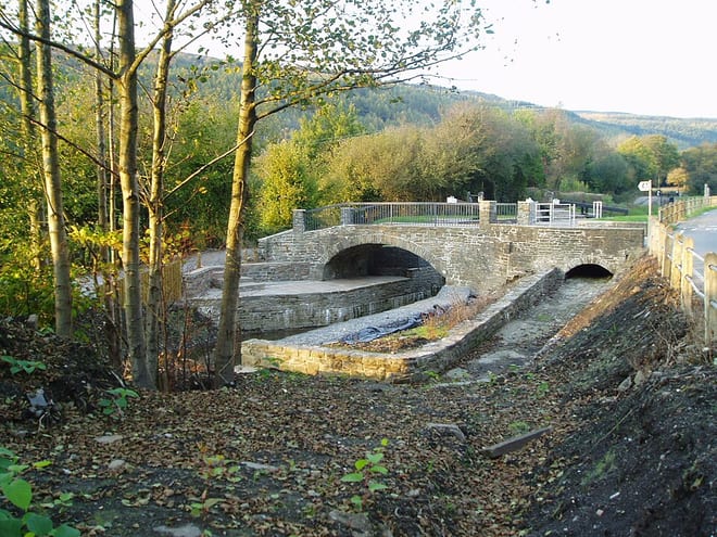
Briton Ferry Rail Station
- Canal
- Peaks nearby
- 30
- highest 89m
- Walking routes
- 5
- within 10 miles
What's on the doorstep
Walking distances are estimates from the straight-line distance and the type of ground, not a measured route. Check a map before you set off.
About Briton Ferry Rail Station
Briton Ferry is a town and community in the county borough of Neath Port Talbot, Wales. The Welsh name may indicate that the church, llan, is protected from the wind, awel. Alternatively, Sawel may be a derivative of Saul, St Paul's earlier name, who, supposedly, once landed at Briton Ferry. An alternative Welsh name unused today is Rhyd y Brython, a direct translation of Briton Ferry. The Normans referred to the River crossing as La Brittonne and Leland in 1540 as Britanne Fery.
Hills, trails and walks from the platform
Walking distances are estimates from the straight-line distance and the type of ground, not a measured route. Check a map before you set off.
| Shelone Hill | 54m | 0.4 mi (about 0.5 to 0.6 mi on foot) |
| Pen Tyla Morris | 86m | 0.6 mi (about 0.7 to 0.8 mi on foot) |
| Warren hill | 45m | 0.6 mi (about 0.7 to 0.8 mi on foot) |
| Coed yr Iaryll | 86m | 1.5 mi (about 2 mi on foot) |
| Mynydd y Gaer | 314m | 1.7 mi (about 2 to 2.5 mi on foot) |
No National Trails within 10 miles.
Route data © OpenStreetMap contributors, ODbL – coverage and route quality vary by area.
| Wales Coast Path (South Wales) ↗National | 113.6 mi | 0.5 mi |
| St Illtyd's Walk ↗Regional | 29.4 mi | 6.2 mi |
| Vale of Neath Walk ↗ | 2.9 mi | 6.5 mi |
| Coed Morgannwg Way ↗Regional | 1.6 mi | 7.3 mi |
| The Gower Way ↗Regional | 34.9 mi | 7.8 mi |