





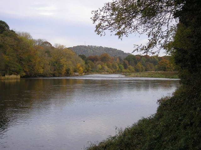
Berwick-upon-Tweed Rail Station
- Special Area of Conservation
- River
- Heritage Coast
- Scotland's Great Trail
- Peaks nearby
- 13
- highest 82m
- Walking routes
- 7
- within 10 miles
What's on the doorstep
River TweedRiver · 0.2 mi (about 0.2 mi on foot) North NorthumberlandHeritage Coast · 0.3 mi (about 0.4 mi on foot)
 Berwickshire Coastal PathScotland's Great Trail · 0.5 mi (about 0.6 to 0.7 mi on foot)
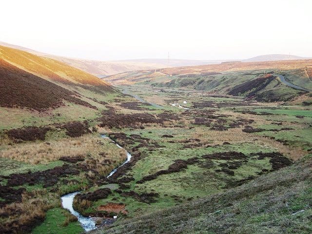 Whiteadder WaterRiver · 1.7 mi (about 2 mi on foot)
Also nearby
- Berwickshire and North Northumberland Coast
Special Area of Conservation
0.6 mi (about 0.7 to 0.8 mi on foot)
Walking distances are estimates from the straight-line distance and the type of ground, not a measured route. Check a map before you set off.
About Berwick-upon-Tweed Rail Station
Berwick-upon-Tweed, sometimes known as Berwick-on-Tweed or simply Berwick, is a town and civil parish in Northumberland, England. It lies 2.5 mi (4 km) south of the Anglo-Scottish border and is the northernmost town in England. The 2011 census recorded Berwick's population as 12,043.
Hills, trails and walks from the platform
Walking distances are estimates from the straight-line distance and the type of ground, not a measured route. Check a map before you set off.
| Halidon Hill | 163m | 1.8 mi (about 2.5 mi on foot) |
| Billylaw | 108m | 2.6 mi (about 3.5 to 4 mi on foot) |
| Lamberton Hill [Ayton Hill]M | 217m | 4.5 mi (about 6 to 6.5 mi on foot) |
| Breeches Rock | 40m | 5.9 mi (about 7.5 to 8.5 mi on foot) |
| Millerton Hill | 132m | 6.3 mi (about 8 to 9 mi on foot) |
No National Trails within 10 miles.
Route data © OpenStreetMap contributors, ODbL – coverage and route quality vary by area.
| The Lowry trail ↗Local | 1.1 mi | 0.4 mi |
| King Charles III England Coast Path: Bamburgh to Scottish Borders ↗National | 38.0 mi | 0.4 mi |
| Northumberland Coast Path ↗Regional | 65.2 mi | 0.5 mi |
| Berwickshire Coastal Path ↗National | 29.8 mi | 0.5 mi |
| Saint Cuthbert's Way (Kirk Yetholm to Lindisfarne) ↗Regional | 31.0 mi | 8.5 mi |