





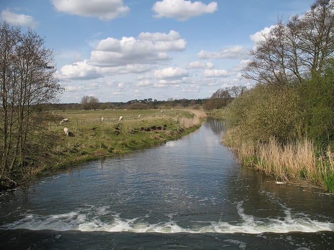
Bury St Edmunds Rail Station
- River
- Peaks nearby
- 1
- highest 129m
- Walking routes
- 20
- within 10 miles
What's on the doorstep
Walking distances are estimates from the straight-line distance and the type of ground, not a measured route. Check a map before you set off.
About Bury St Edmunds Rail Station
Bury St Edmunds, commonly referred to locally as Bury, is a cathedral town, market town and civil parish in the West Suffolk district, in the county of Suffolk, England. The town is best known for Bury St Edmunds Abbey and St Edmundsbury Cathedral. Bury is the seat of the Diocese of St Edmundsbury and Ipswich of the Church of England, with the episcopal see at St Edmundsbury Cathedral. The town, originally called Beodericsworth, was built on a grid pattern by Abbot Baldwin around 1080. It is known for brewing and malting and for a British Sugar processing factory, where Silver Spoon sugar is produced. The town is the cultural and retail centre for West Suffolk and tourism is a major part of the economy. The built up area had a population of 41,280 at the 2021 census.
Hills, trails and walks from the platform
Walking distances are estimates from the straight-line distance and the type of ground, not a measured route. Check a map before you set off.
| Great Wood | 129m | 7.1 mi (about 9 to 10.5 mi on foot) |
No National Trails within 10 miles.
Route data © OpenStreetMap contributors, ODbL – coverage and route quality vary by area.
| St Edmund Way ↗Regional | 81.2 mi | 0.0 mi |
| London to Walsingham - stage 06 ↗Local | 20.0 mi | 0.0 mi |
| Lark Valley Path ↗Local | 15.0 mi | 0.0 mi |
| London to Walsingham - stage 05 ↗Local | 16.2 mi | 0.7 mi |
| Circular Walk ↗Local | 1.2 mi | 0.8 mi |