





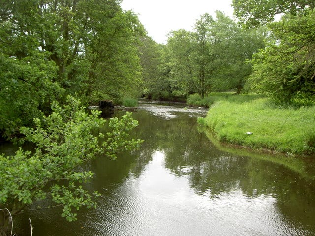
Caergwrle Rail Station
- River
- Peaks nearby
- 30
- highest 493m
- Walking routes
- 21
- within 10 miles
What's on the doorstep
About Caergwrle Rail Station
Caergwrle is a village in the county of Flintshire, in north east Wales. Approximately 5–6 miles (8.0–9.7 km) from Wrexham and situated on the A541 road, it is contiguous with the villages of Abermorddu and Hope, though in parts Caergwrle and Hope are separated by a river border. The village lies on the River Alyn and sits at the base of Hope Mountain. At the 2001 Census, the population was 1,650. The population was subsequently absorbed in the community of Hope and only the electoral ward remained. The population of this ward as taken at the 2011 census was 1,619. The ward includes the area of Abermorddu. Further south is the village of Cefn-y-Bedd.
Hills, trails and walks from the platform
Walking distances are estimates from the straight-line distance and the type of ground, not a measured route. Check a map before you set off.
| Caergwrle Castle | 137m | 0.2 mi (about 0.2 to 0.3 mi on foot) |
| Caer Estyn | 154m | 0.3 mi (about 0.4 mi on foot) |
| Hope MountainM | 330m | 0.9 mi (about 1 to 1.5 mi on foot) |
| Windy Hill | 174m | 1.5 mi (about 2 mi on foot) |
| Cefn | 213m | 2.6 mi (about 3.5 to 4 mi on foot) |
| Offa's Dyke Path ↗ | 181.4 mi | 6.7 mi |
Route data © OpenStreetMap contributors, ODbL – coverage and route quality vary by area.
| Llwybr Clawdd Wat ↗Regional | 62.6 mi | 0.1 mi |
| Wales Link Path ↗Local | 14.0 mi | 0.2 mi |
| Erddig Riverside Walk ↗Local | 1.6 mi | 5.0 mi |
| Reservoir Walk Route ↗Local | 2.7 mi | 5.3 mi |
| Black Grouse ↗Local | 2.2 mi | 5.3 mi |