





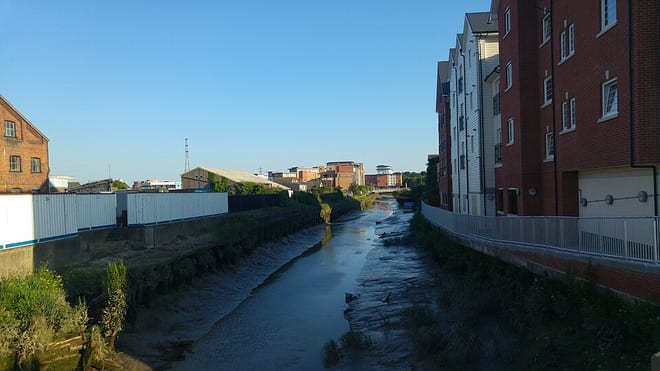
Chappel & Wakes Colne Rail Station
- River
- Peaks nearby
- 0
- within 10 miles
- Walking routes
- 20
- within 10 miles
What's on the doorstep
Walking distances are estimates from the straight-line distance and the type of ground, not a measured route. Check a map before you set off.
About Chappel & Wakes Colne Rail Station
Chappel & Wakes Colne railway station is on the Gainsborough Line, a branch to Sudbury off the Great Eastern Main Line, in the East of England, serving the village of Wakes Colne and the neighbouring Chappel. It is 3 miles 49 chains (5.81 km) down the line from Marks Tey and 50 miles 18 chains (80.83 km) measured from London Liverpool Street. It is situated between Marks Tey and Bures. Its three-letter station code is CWC. Platform 1 has an operational length for five-coach trains. Platforms 2 and 3 are used by the East Anglian Railway Museum.
Hills, trails and walks from the platform
Loading nearby stations…
No peaks within 10 miles matching these filters.
No National Trails within 10 miles.
Route data © OpenStreetMap contributors, ODbL – coverage and route quality vary by area.
| Round Chapel ↗Local | 4.7 mi | 0.4 mi |
| Colne Valley Path ↗Local | 23.4 mi | 0.4 mi |
| Margery Allingham Walk ↗Local | 4.3 mi | 0.4 mi |
| Essex Way (Epping to Stratford St Mary) ↗Regional | 61.8 mi | 1.0 mi |
| Stour Valley Path part 2 ↗Regional | 53.9 mi | 2.8 mi |