





Chester Rail Station
- Canal
- Special Area of Conservation
- Disused railway
- River
- Peaks nearby
- 19
- highest 41m
- Walking routes
- 20
- within 10 miles
What's on the doorstep
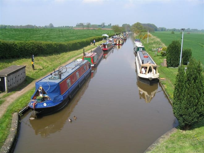
Shropshire Union CanalCanal · 0.2 mi (about 0.3 mi on foot)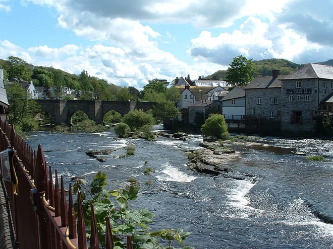 River DeeRiver · 0.4 mi (about 0.5 mi on foot)
Also nearby
- River Dee and Bala Lake/ Afon Dyfrdwy a Llyn Tegid
Special Area of Conservation
0.4 mi (about 0.5 mi on foot)
Walking distances are estimates from the straight-line distance and the type of ground, not a measured route. Check a map before you set off.
About Chester Rail Station
Chester is a cathedral city in Cheshire, England, on the River Dee, very close to the England–Wales border. It had a built-up area population of 92,760 in 2021, it is the most populous settlement in the borough of Cheshire West and Chester. It is the historic county town of Cheshire and the second-largest settlement in Cheshire after Warrington.
Hills, trails and walks from the platform
Walking distances are estimates from the straight-line distance and the type of ground, not a measured route. Check a map before you set off.
| Helsby Hill | 141m | 7.2 mi (about 9.5 to 10.5 mi on foot) |
| Alvanley Cliff | 140m | 7.4 mi (about 9.5 to 10.5 mi on foot) |
| Mount Manisty | 41m | 7.6 mi (about 10 to 11 mi on foot) |
| Birch Hill | 158m | 8.0 mi (about 10.5 to 11.5 mi on foot) |
| Woodhouse Hill | 147m | 8.1 mi (about 10.5 to 11.5 mi on foot) |
No National Trails within 10 miles.
Route data © OpenStreetMap contributors, ODbL – coverage and route quality vary by area.
| Marches Way ↗ | 28.1 mi | 0.0 mi |
| North Cheshire Way (Chester Spur) ↗Regional | 6.0 mi | 0.0 mi |
| Baker Way ↗Local | 13.4 mi | 0.0 mi |
| Two Saints Way ↗Regional | 93.8 mi | 0.2 mi |
| Longster Trail ↗Local | 11.8 mi | 0.4 mi |