





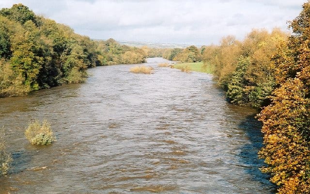
Cilmeri Rail Station
- Special Area of Conservation
- River
- Peaks nearby
- 30
- highest 476m
- Walking routes
- 5
- within 10 miles
What's on the doorstep
Walking distances are estimates from the straight-line distance and the type of ground, not a measured route. Check a map before you set off.
About Cilmeri Rail Station
Cilmeri is a village and community in Powys, mid-Wales, United Kingdom in the historic county of Brecknockshire, two and a half miles west of Builth Wells on the A483 to Llandovery. The village is served by Cilmeri railway station on the Heart of Wales Line. In the 2001 census, Cilmeri Community had a population of 438 and 191 households. The population at the 2011 had fallen slightly to 431. The community includes the settlement of Llanganten and a small part of Builth Wells west of the River Irfon.
Hills, trails and walks from the platform
Walking distances are estimates from the straight-line distance and the type of ground, not a measured route. Check a map before you set off.
| Pen-y-banc | 229m | 1.2 mi (about 1.5 mi on foot) |
| Park Wood Hill | 186m | 1.3 mi (about 1.5 to 2 mi on foot) |
| Pencaerhelem | 214m | 1.8 mi (about 2.5 mi on foot) |
| Moelfre | 442m | 1.8 mi (about 2.5 mi on foot) |
| Pen Neuadd | 445m | 1.9 mi (about 2.5 to 3 mi on foot) |
No National Trails within 10 miles.
Route data © OpenStreetMap contributors, ODbL – coverage and route quality vary by area.
| Heart of Wales Line Trail ↗Regional | 143.3 mi | 1.3 mi |
| Wye Valley Walk ↗Regional | 139.6 mi | 1.4 mi |
| Epynt Way ↗Local | 9.4 mi | 2.3 mi |
| Epynt Way ↗Local | 6.0 mi | 3.8 mi |
| Epynt Way ↗Local | 5.5 mi | 8.0 mi |