





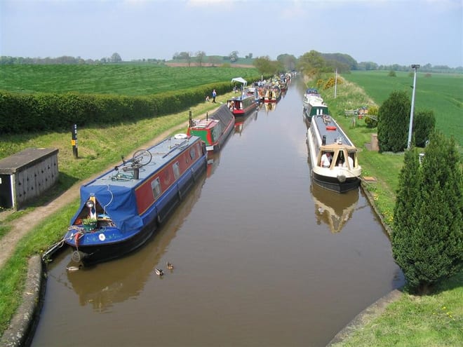
Codsall Rail Station
- Canal
- Lake or reservoir
- Disused railway
- Peaks nearby
- 18
- highest 241m
- Walking routes
- 20
- within 10 miles
What's on the doorstep
Walking distances are estimates from the straight-line distance and the type of ground, not a measured route. Check a map before you set off.
About Codsall Rail Station
Codsall is a village and civil parish in the South Staffordshire district of Staffordshire, England. It is situated 5 miles northwest of Wolverhampton and 13 miles east-southeast of Telford. It forms part of the boundary of the Staffordshire-West Midlands County border, along with Perton, the village is almost contiguous with Wolverhampton with very small amounts of greenbelt still separating the two settlements.
Hills, trails and walks from the platform
Walking distances are estimates from the straight-line distance and the type of ground, not a measured route. Check a map before you set off.
| Wrottesley Hill | 166m | 2.7 mi (about 3.5 to 4 mi on foot) |
| Tettenhall Wood | 156m | 2.8 mi (about 3.5 to 4 mi on foot) |
| Bushbury Hill | 184m | 4.0 mi (about 5 to 6 mi on foot) |
| White Oak Hill | 158m | 4.2 mi (about 5.5 to 6 mi on foot) |
| Essington Hill | 189m | 5.7 mi (about 7.5 to 8.5 mi on foot) |
No National Trails within 10 miles.
Route data © OpenStreetMap contributors, ODbL – coverage and route quality vary by area.
| Staffordshire Way (Cannock Chase South) ↗Regional | 37.5 mi | 0.0 mi |
| Monarch's Way ↗Regional | 573.3 mi | 0.5 mi |
| Tettenhall Village Trail ↗Local | 1.3 mi | 2.4 mi |
| Black Country Canals: The Dudley & Stourbridge Ring ↗Regional | 34.1 mi | 2.7 mi |
| Wolverhampton Locks Walk ↗Local | 1.9 mi | 2.7 mi |