





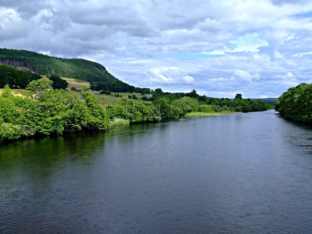
Conon Bridge Rail Station
- River
- Special Area of Conservation
- Peaks nearby
- 30
- highest 62m
- Walking routes
- 6
- within 10 miles
What's on the doorstep
Walking distances are estimates from the straight-line distance and the type of ground, not a measured route. Check a map before you set off.
About Conon Bridge Rail Station
Conon Bridge is a village in the Highland region of Scotland. The current Gaelic name is likely a neologism: the bridge was not built until the early 19th century and some early gravestones show the name sgudal or scuddle. One suggested source is the Old Norse "sku dal", valley of the fine views.
Source: Wikipedia, CC BY-SA.
Hills, trails and walks from the platform
Walking distances are estimates from the straight-line distance and the type of ground, not a measured route. Check a map before you set off.
| Knockbain | 193m | 2.0 mi (about 2.5 to 3 mi on foot) |
| Cnoc a' Mhuilinn-Thairbh | 212m | 2.8 mi (about 3.5 to 4 mi on foot) |
| Knock Farril | 218m | 3.1 mi (about 4 to 4.5 mi on foot) |
| Cnoc MorM | 269m | 3.4 mi (about 4.5 to 5 mi on foot) |
| Cnoc Ravoch | 214m | 4.1 mi (about 5.5 to 6 mi on foot) |
No National Trails within 10 miles.
Route data © OpenStreetMap contributors, ODbL – coverage and route quality vary by area.
| Muir to Clash Circuit ↗Local | 0.2 mi | 2.8 mi |
| John O'Groats Trail (Culbokie to Alness) ↗Local | 9.2 mi | 4.5 mi |
| John O'Groats Trail (Inverness to Culbokie) ↗Local | 15.3 mi | 4.7 mi |
| Contin forest and View Rock ↗Local | 2.5 mi | 5.1 mi |
| Rogie Falls Riverside Trail ↗Local | 0.9 mi | 6.2 mi |