






Corrour Rail Station
- Wild Land Area
- Lake or reservoir
- Peaks nearby
- 30
- highest 979m
- Walking routes
- 4
- within 10 miles
What's on the doorstep
Rannoch - Nevis - Mamores - AlderWild Land Area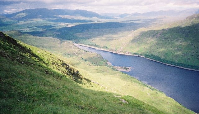 Loch TrèigLake or reservoir · 2.5 mi (about 3 to 3.5 mi on foot)
Also nearby
Walking distances are estimates from the straight-line distance and the type of ground, not a measured route. Check a map before you set off.
About Corrour Rail Station
Corrour railway station is on the West Highland Line, near Loch Ossian on the Corrour Estate, in the Highland council area of Scotland. It is the highest mainline railway station in the United Kingdom at an elevation of 1,340 feet (410 m) above sea level. It is between Rannoch and Tulloch, 71 miles 54 chains (115.3 km) from Craigendoran Junction, near Helensburgh. ScotRail manage the station and provide most services, along with Caledonian Sleeper.
Hills, trails and walks from the platform
Walking distances are estimates from the straight-line distance and the type of ground, not a measured route. Check a map before you set off.
| Meall na Lice | 584m | 1.5 mi (about 2 mi on foot) |
| Leum UilleimM | 907m | 2.1 mi (about 3 to 3.5 mi on foot) |
| Beinn na LapMuM | 935m | 2.3 mi (about 3.5 mi on foot) |
| Leum Uilleim South Top | 847m | 2.5 mi (about 3.5 to 4 mi on foot) |
| Beinn a' Bhric | 874m | 2.7 mi (about 4 to 4.5 mi on foot) |
No National Trails within 10 miles.
Route data © OpenStreetMap contributors, ODbL – coverage and route quality vary by area.
| The Road to the Isles Station Hop ↗Local | 4.5 mi | 0.0 mi |
| East Highland Way ↗Regional | 77.9 mi | 7.2 mi |
| West Highland Way (Kingshouse to Kinlochleven) ↗National | 8.9 mi | 9.3 mi |
| West Highland Way (Inveroran to Kingshouse) ↗National | 9.7 mi | 9.5 mi |