




Craven Arms Rail Station
- River
- National Landscape
- Peaks nearby
- 30
- highest 460m
- Walking routes
- 20
- within 10 miles
What's on the doorstep
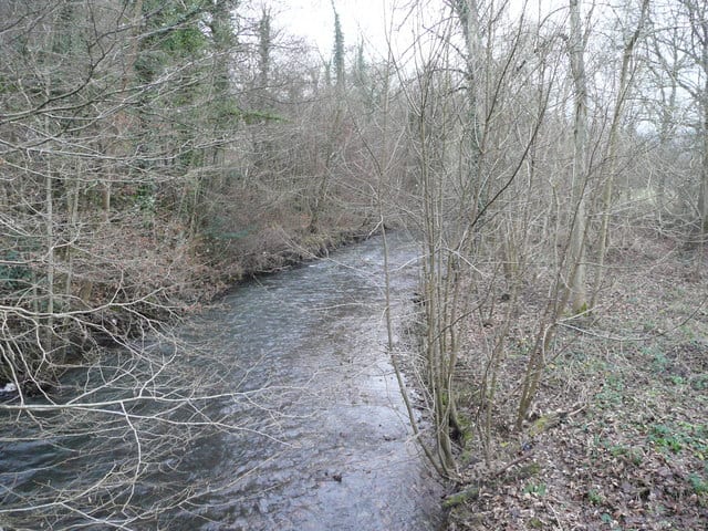
River OnnyRiver · 0.3 mi (about 0.3 to 0.4 mi on foot) Shropshire Hills National LandscapeNational Landscape · 0.3 mi (about 0.4 to 0.5 mi on foot)
Walking distances are estimates from the straight-line distance and the type of ground, not a measured route. Check a map before you set off.
About Craven Arms Rail Station
Craven Arms is a market town and civil parish in Shropshire, England. It is sited on the A49 road and the Welsh Marches railway line, which link it north and south to the larger towns of Shrewsbury and Ludlow respectively. The town is enclosed to the north by the Shropshire Hills Area of Outstanding Natural Beauty and to the south is the fortified manor house of Stokesay Castle.
Hills, trails and walks from the platform
Walking distances are estimates from the straight-line distance and the type of ground, not a measured route. Check a map before you set off.
| Norton Camp | 292m | 1.1 mi (about 1.5 mi on foot) |
| View EdgeM | 322m | 1.4 mi (about 2 mi on foot) |
| Hopesay Hill | 315m | 1.9 mi (about 2.5 mi on foot) |
| Callow HillM | 340m | 2.2 mi (about 3 mi on foot) |
| Wart Hill | 324m | 2.2 mi (about 3 mi on foot) |
No National Trails within 10 miles.
Route data © OpenStreetMap contributors, ODbL – coverage and route quality vary by area.
| Shropshire Way - stage 05 ↗Local | 10.7 mi | 0.4 mi |
| Shropshire Way - stage 04 ↗Local | 11.2 mi | 0.4 mi |
| Heart of Wales Line Trail ↗Regional | 143.3 mi | 0.4 mi |
| Herefordshire Trail ↗Regional | 156.8 mi | 3.8 mi |
| Corvedale Three Castles Walk ↗Local | 10.6 mi | 4.2 mi |