





Carnforth Rail Station
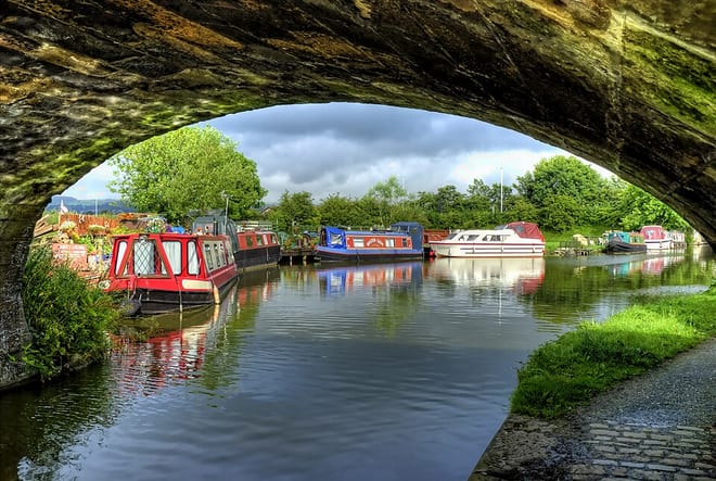
- Canal
- Special Area of Conservation
- National Landscape
- Disused railway
- Peaks nearby
- 30
- highest 91m
- Walking routes
- 12
- within 10 miles
What's on the doorstep
Lancaster CanalCanal · 0.3 mi (about 0.3 to 0.4 mi on foot) Arnside & Silverdale National LandscapeNational Landscape · 0.5 mi (about 0.6 to 0.7 mi on foot)
Also nearby
Walking distances are estimates from the straight-line distance and the type of ground, not a measured route. Check a map before you set off.
About Carnforth Rail Station
Carnforth is a market town and civil parish in the City of Lancaster in Lancashire, England, situated at the north-east end of Morecambe Bay. The parish of Carnforth had a population of 5,521 in the 2021 census and 5,560 in the 2011 census, an increase from the 5,350 recorded in the 2001 census. The town is situated around 7 miles north of Lancaster, 17 miles south of Kendal, 40 miles east of Barrow-in-Furness and 28 miles north-west of Settle. The town is also close to the Cumbria/Lancashire border.
Hills, trails and walks from the platform
Walking distances are estimates from the straight-line distance and the type of ground, not a measured route. Check a map before you set off.
| Hunting Hill | 48m | 0.4 mi (about 0.5 to 0.6 mi on foot) |
| Warton Crag | 163m | 1.3 mi (about 1.5 to 2 mi on foot) |
| Kellet Hill | 140m | 1.6 mi (about 2 to 2.5 mi on foot) |
| Summerhouse Hill | 126m | 2.3 mi (about 3 to 3.5 mi on foot) |
| Inglebrick | 81m | 2.7 mi (about 3.5 to 4 mi on foot) |
No National Trails within 10 miles.
Route data © OpenStreetMap contributors, ODbL – coverage and route quality vary by area.
| Short Route ↗ | 1.1 mi | 1.1 mi |
| Long Route ↗ | 2.2 mi | 1.1 mi |
| Lancashire Coastal Way ↗Regional | 39.6 mi | 3.1 mi |
| Eaves Wood Tramper Trail, Arnside/Silverdale ↗Local | 1.7 mi | 3.6 mi |
| Eaves Wood Circular Walk, Arnside/Silverdale ↗Local | 1.9 mi | 3.6 mi |