





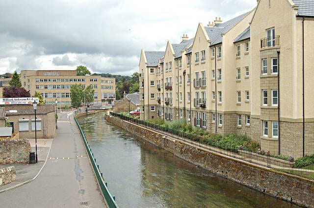
Cupar Rail Station
- River
- Peaks nearby
- 30
- highest 87m
- Walking routes
- 13
- within 10 miles
What's on the doorstep
Walking distances are estimates from the straight-line distance and the type of ground, not a measured route. Check a map before you set off.
About Cupar Rail Station
Cupar, also known as Cupar of Fife to distinguish it from Coupar Angus, is a historic market town, former royal burgh and parish in Fife, Scotland. It lies between Dundee and Glenrothes. Cupar had a population of 8,817 in 2022, making it the ninth-most-populous settlement in Fife. It is the historic county town of Fife, although the council now sits at Glenrothes.
Hills, trails and walks from the platform
Walking distances are estimates from the straight-line distance and the type of ground, not a measured route. Check a map before you set off.
| Hill of Tarvit | 211m | 1.4 mi (about 2 mi on foot) |
| Kilmaron Hill | 147m | 1.8 mi (about 2.5 mi on foot) |
| Foodie Hill | 156m | 2.0 mi (about 2.5 to 3 mi on foot) |
| Myrecairnie Hill | 173m | 2.5 mi (about 3 to 3.5 mi on foot) |
| Hill of Carslogie | 87m | 2.5 mi (about 3.5 mi on foot) |
No National Trails within 10 miles.
Route data © OpenStreetMap contributors, ODbL – coverage and route quality vary by area.
| Fife Pilgrim Way ↗Regional | 64.6 mi | 2.3 mi |
| Fife Coastal Path ↗National | 125.1 mi | 5.2 mi |
| Columba Way on North FCP ↗National | 37.2 mi | 5.2 mi |
| Lade Braes Walk ↗Local | 2.5 mi | 7.2 mi |
| Nature Trail ↗Local | 2.7 mi | 7.8 mi |