





Cwmbran Rail Station
- Canal
- Lake or reservoir
- National Park
- Disused railway
- Peaks nearby
- 30
- highest 97m
- Walking routes
- 11
- within 10 miles
What's on the doorstep
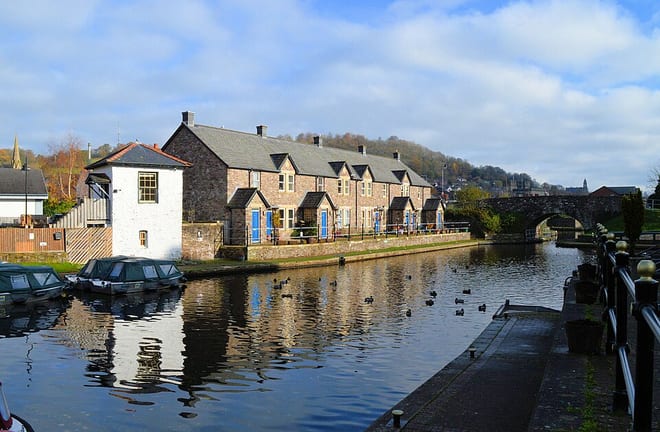
Monmouthshire and Brecon CanalCanal · 0.5 mi (about 0.6 to 0.7 mi on foot)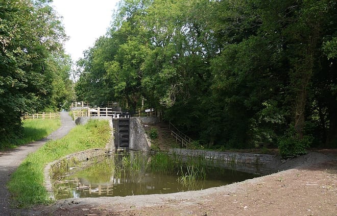 Monmouthshire CanalCanal · 0.7 mi (about 0.9 to 1 mi on foot)
 Bannau Brycheiniog / Brecon BeaconsNational Park · 3.1 mi (about 4 mi on foot)
Also nearby
Walking distances are estimates from the straight-line distance and the type of ground, not a measured route. Check a map before you set off.
About Cwmbran Rail Station
Cwmbran, officially spelled using the Welsh spelling Cwmbrân, is a town in the county borough of Torfaen, in the south of Wales. Lying within the historic boundaries of Monmouthshire, it was designated as a new town in 1949 to provide new employment opportunities in the south-eastern portion of the South Wales Coalfield.
Source: Wikipedia, CC BY-SA.
Hills, trails and walks from the platform
Walking distances are estimates from the straight-line distance and the type of ground, not a measured route. Check a map before you set off.
| Roughton Hill | 106m | 2.4 mi (about 3 to 3.5 mi on foot) |
| Sluvad Hill | 144m | 2.5 mi (about 3.5 mi on foot) |
| Mynydd Maen [Mynydd Twyn-glas]M | 473m | 2.7 mi (about 3.5 to 4 mi on foot) |
| Lodge Hill | 119m | 3.2 mi (about 4 to 4.5 mi on foot) |
| Craig y Saeson [Craigwith] | 186m | 3.2 mi (about 4 to 4.5 mi on foot) |
No National Trails within 10 miles.
Route data © OpenStreetMap contributors, ODbL – coverage and route quality vary by area.
| Cambrian Way ↗National | 300.1 mi | 1.9 mi |
| Lodge Hill Circular Walk ↗Local | 1.6 mi | 3.0 mi |
| Usk Valley Walk ↗Regional | 18.4 mi | 4.4 mi |
| Rhymney Valley Ridgeway Walk ↗Regional | 28.0 mi | 5.7 mi |
| Wales Coast Path (South Wales) ↗National | 113.6 mi | 5.8 mi |