





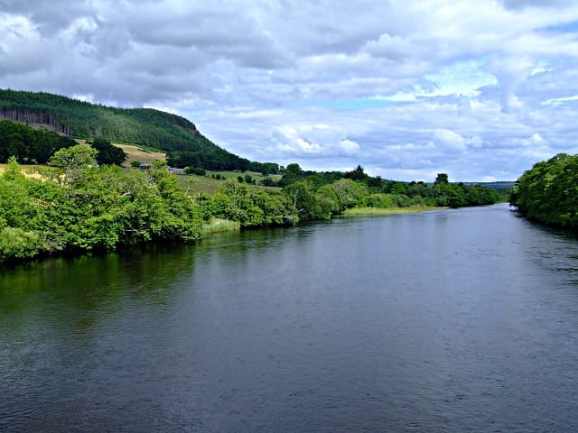
Dingwall Rail Station
- River
- Peaks nearby
- 30
- highest 620m
- Walking routes
- 7
- within 10 miles
What's on the doorstep
Walking distances are estimates from the straight-line distance and the type of ground, not a measured route. Check a map before you set off.
About Dingwall Rail Station
Dingwall is a historic market town and former royal burgh on the Cromarty Firth in Easter Ross in the Highlands of Scotland. It has enjoyed the status of royal burgh since the 13th century, and its local government is the Highland Council. The town has a population of 5,265 in 2022, and though today it lies inland, its topography used to be that of an east-coast harbour. At one time, it was a significant medieval port, a hub of foreign trading and customs collection. Dingwall's medieval history affirms its status as an important country town and administrative centre, an extension perhaps of its history as a Viking settlement as evidenced by the Norse origin (Þingvǫllr) of its name.
Hills, trails and walks from the platform
Walking distances are estimates from the straight-line distance and the type of ground, not a measured route. Check a map before you set off.
| Knockbain | 193m | 1.7 mi (about 2 to 2.5 mi on foot) |
| Cnoc Ravoch | 214m | 1.7 mi (about 2.5 mi on foot) |
| Cnoc a' Bhreacaich | 339m | 2.5 mi (about 3 to 3.5 mi on foot) |
| Knock Farril | 218m | 3.0 mi (about 4 to 4.5 mi on foot) |
| Cnoc Mhabairn | 322m | 3.2 mi (about 4 to 4.5 mi on foot) |
No National Trails within 10 miles.
Route data © OpenStreetMap contributors, ODbL – coverage and route quality vary by area.
| John O'Groats Trail (Culbokie to Alness) ↗Local | 9.2 mi | 2.7 mi |
| John O'Groats Trail (Inverness to Culbokie) ↗Local | 15.3 mi | 3.1 mi |
| Muir to Clash Circuit ↗Local | 0.2 mi | 5.1 mi |
| Contin forest and View Rock ↗Local | 2.5 mi | 5.7 mi |
| Rogie Falls Riverside Trail ↗Local | 0.9 mi | 6.6 mi |