






Dalmeny Rail Station
- Scotland's Great Trail
- River
- Peaks nearby
- 30
- highest 95m
- Walking routes
- 20
- within 10 miles
What's on the doorstep
John Muir WayScotland's Great Trail · 0.3 mi (about 0.4 mi on foot)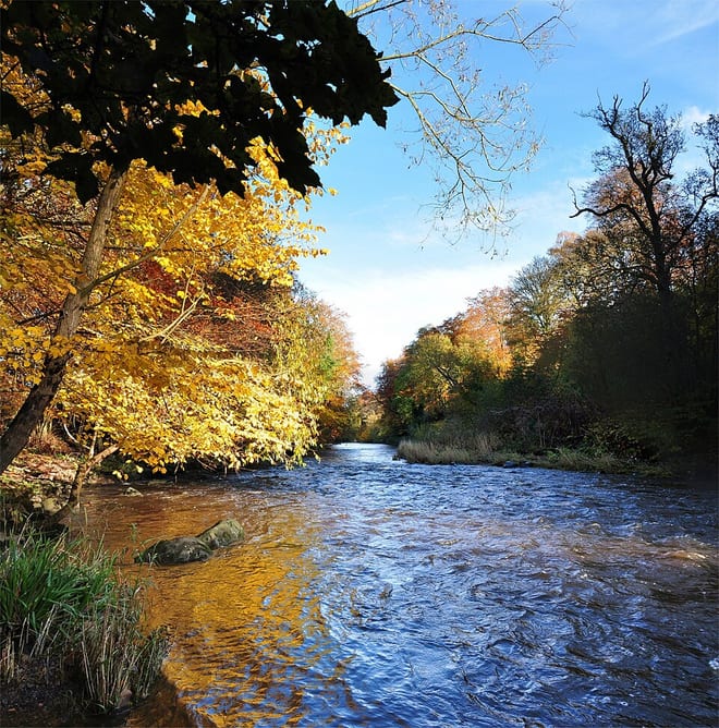 River AlmondRiver · 2.0 mi (about 2.5 mi on foot)
Walking distances are estimates from the straight-line distance and the type of ground, not a measured route. Check a map before you set off.
About Dalmeny Rail Station
Dalmeny is a village and civil parish in Scotland. It is located on the south side of the Firth of Forth, 1 mile (1.6 km) southeast of South Queensferry and 8 miles (13 km) west of Edinburgh city centre. It lies within the traditional boundaries of West Lothian, and falls under the local governance of the City of Edinburgh Council. Dalmeny is on the route used as the X99 Queensferry off-service loop.
Hills, trails and walks from the platform
Walking distances are estimates from the straight-line distance and the type of ground, not a measured route. Check a map before you set off.
| Dalmeny Oil Depot | 88m | 0.7 mi (about 1 mi on foot) |
| Mons Hill | 119m | 1.0 mi (about 1.5 mi on foot) |
| Craigie Hill | 108m | 1.4 mi (about 2 mi on foot) |
| Mansion Hill | 82m | 1.4 mi (about 2 mi on foot) |
| New England | 68m | 1.6 mi (about 2 mi on foot) |
No National Trails within 10 miles.
Route data © OpenStreetMap contributors, ODbL – coverage and route quality vary by area.
| Forth Bridges Trail ↗Local | 4.7 mi | 0.0 mi |
| John Muir Way (South Queensferry to Edinburgh part 1) ↗National | 12.8 mi | 0.3 mi |
| John Muir Way (Linlithgow to South Queensferry) ↗National | 14.2 mi | 0.6 mi |
| Fife Pilgrim Way ↗Regional | 64.6 mi | 1.6 mi |
| Fife Coastal Path ↗National | 125.1 mi | 1.7 mi |