





Droitwich Spa Rail Station
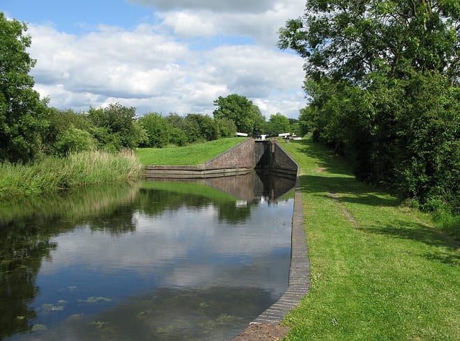
- Canal
- Peaks nearby
- 25
- highest 98m
- Walking routes
- 20
- within 10 miles
What's on the doorstep
Walking distances are estimates from the straight-line distance and the type of ground, not a measured route. Check a map before you set off.
About Droitwich Spa Rail Station
Droitwich Spa is an historic spa town and civil parish in the Wychavon district, in northern Worcestershire, England, on the River Salwarpe. It is located approximately 22 miles (35 km) south-west of Birmingham and 7 miles (11 km) north-east of Worcester. In 2021 the parish had a population of 25,027.
Source: Wikipedia, CC BY-SA.
Hills, trails and walks from the platform
Walking distances are estimates from the straight-line distance and the type of ground, not a measured route. Check a map before you set off.
| Crutch Hill | 77m | 1.7 mi (about 2.5 mi on foot) |
| Newland Common | 84m | 1.8 mi (about 2.5 mi on foot) |
| Madam's Hill | 103m | 3.8 mi (about 5 to 5.5 mi on foot) |
| Shoots Hill | 88m | 4.1 mi (about 5.5 to 6 mi on foot) |
| Piper's Hill | 120m | 4.3 mi (about 5.5 to 6 mi on foot) |
No National Trails within 10 miles.
Route data © OpenStreetMap contributors, ODbL – coverage and route quality vary by area.
| Droitwich Spa Diamond Jubilee Walk ↗Local | 8.9 mi | 0.2 mi |
| John Corbett Way ↗Local | 8.3 mi | 0.3 mi |
| Monarch's Way ↗Regional | 573.3 mi | 0.4 mi |
| Wychavon Way ↗Regional | 40.9 mi | 0.6 mi |
| Wychavon Way (old) ↗ | 8.3 mi | 0.6 mi |