






Dunkeld & Birnam Rail Station
- National Scenic Area
- Special Area of Conservation
- River
- Lake or reservoir
- Peaks nearby
- 30
- highest 511m
- Walking routes
- 20
- within 10 miles
What's on the doorstep
River Tay (Dunkeld)National Scenic Area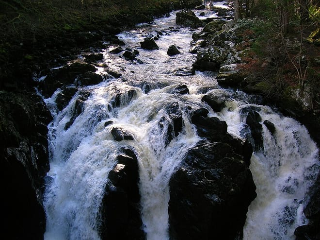 River BraanRiver · 0.6 mi (about 0.7 to 0.8 mi on foot)
Also nearby
Walking distances are estimates from the straight-line distance and the type of ground, not a measured route. Check a map before you set off.
About Dunkeld & Birnam Rail Station
Dunkeld & Birnam railway station serves the town of Dunkeld and village of Birnam in Perth and Kinross, Scotland. It is located on the Highland Main Line, 15 miles 31 chains (24.8 km) north of Perth and is the first stop on the line north of there, before Pitlochry.
Source: Wikipedia, CC BY-SA.
Hills, trails and walks from the platform
Walking distances are estimates from the straight-line distance and the type of ground, not a measured route. Check a map before you set off.
| Dunkeld Craig | 174m | 0.8 mi (about 1 mi on foot) |
| Birnam Hill - King's SeatM | 404m | 0.9 mi (about 1 to 1.5 mi on foot) |
| Newtyle HillM | 318m | 1.2 mi (about 1.5 mi on foot) |
| Creagan Loisgte | 133m | 1.4 mi (about 2 mi on foot) |
| Crieff Hill | 192m | 1.5 mi (about 2 mi on foot) |
No National Trails within 10 miles.
Route data © OpenStreetMap contributors, ODbL – coverage and route quality vary by area.
| Station to the Hermitage ↗Local | 1.9 mi | 0.0 mi |
| Birnam Hill and The River Tay ↗ | 8.4 mi | 0.0 mi |
| River Tay Way ↗Local | 47.5 mi | 0.0 mi |
| Inchewan Path ↗Local | 5.3 mi | 0.0 mi |
| Hermitage, Rumbling Bridge and Inchewan Burn ↗ | 7.1 mi | 0.0 mi |