





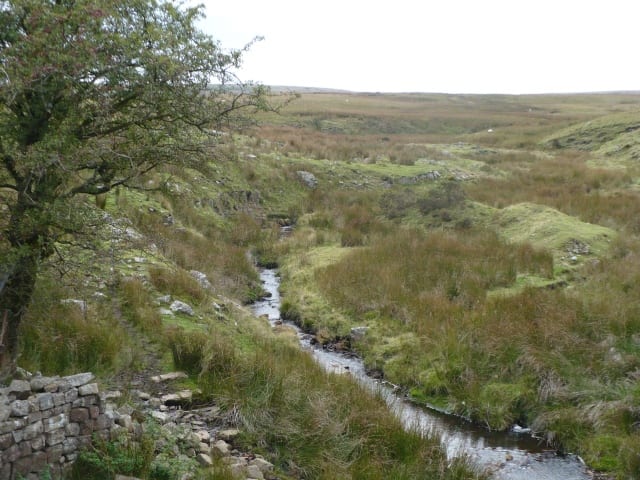
Ebbw Vale Town Rail Station
- River
- National Park
- Disused railway
- Peaks nearby
- 30
- highest 617m
- Walking routes
- 8
- within 10 miles
What's on the doorstep
Sirhowy RiverRiver · 1.7 mi (about 2 to 2.5 mi on foot) Bannau Brycheiniog / Brecon BeaconsNational Park · 2.3 mi (about 3 mi on foot)
Also nearby
Walking distances are estimates from the straight-line distance and the type of ground, not a measured route. Check a map before you set off.
About Ebbw Vale Town Rail Station
Ebbw Vale Town railway station serves the town centre of Ebbw Vale in Blaenau Gwent, Wales, serving as the terminus of the Ebbw Valley Railway.
Source: Wikipedia, CC BY-SA.
Hills, trails and walks from the platform
Walking distances are estimates from the straight-line distance and the type of ground, not a measured route. Check a map before you set off.
| Mynydd Carn-y-cefnDM | 550m | 1.1 mi (about 1.5 mi on foot) |
| Y Domen FawrD | 504m | 1.4 mi (about 2 mi on foot) |
| Bryn-serth | 404m | 1.7 mi (about 2.5 mi on foot) |
| Mulfran | 524m | 2.1 mi (about 3 mi on foot) |
| Mynydd Bedwellte | 486m | 2.6 mi (about 3.5 to 4 mi on foot) |
No National Trails within 10 miles.
Route data © OpenStreetMap contributors, ODbL – coverage and route quality vary by area.
| Cambrian Way ↗National | 300.1 mi | 4.2 mi |
| South Wales Traverse ↗ | 22.6 mi | 5.8 mi |
| Usk Valley Walk ↗Regional | 18.4 mi | 6.3 mi |
| Beacons Way ↗Regional | 96.5 mi | 6.5 mi |
| Taff Trail ↗Regional | 63.0 mi | 6.9 mi |