





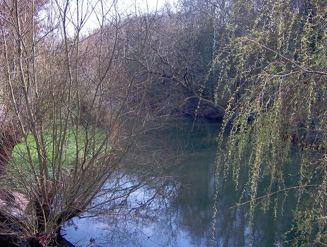
Filton Abbey Wood Rail Station
- River
- Disused railway
- Peaks nearby
- 20
- highest 99m
- Walking routes
- 22
- within 10 miles
What's on the doorstep
Walking distances are estimates from the straight-line distance and the type of ground, not a measured route. Check a map before you set off.
About Filton Abbey Wood Rail Station
Filton Abbey Wood railway station serves the town of Filton in South Gloucestershire, England; it is located 4.4 miles (7.1 km) from Bristol Temple Meads. There are four platforms but minimal facilities. The station is managed by Great Western Railway, which also operates all calling services. The general service level is nine trains per hour: two to Cardiff Central, two towards Gloucester, one towards Taunton, two towards Westbury and two to Bristol Temple Meads.
Hills, trails and walks from the platform
Walking distances are estimates from the straight-line distance and the type of ground, not a measured route. Check a map before you set off.
| Hopewell Hill | 116m | 3.3 mi (about 4.5 to 5 mi on foot) |
| Durdham Down | 99m | 3.4 mi (about 4.5 to 5 mi on foot) |
| Kings Weston Hill | 98m | 3.8 mi (about 5 to 5.5 mi on foot) |
| Mount Hill | 116m | 4.3 mi (about 5.5 to 6 mi on foot) |
| Observatory Hill | 102m | 4.3 mi (about 5.5 to 6.5 mi on foot) |
| Cotswold Way ↗ | 106.3 mi | 8.1 mi |
| Offa's Dyke Path ↗ | 181.4 mi | 9.6 mi |
Route data © OpenStreetMap contributors, ODbL – coverage and route quality vary by area.
| Community Forest Path ↗Local | 46.5 mi | 1.4 mi |
| Frome Valley Walkway ↗Local | 19.3 mi | 1.5 mi |
| Bristol Triangular City Walk ↗Local | 18.8 mi | 1.8 mi |
| River Avon Trail ↗Regional | 26.0 mi | 3.5 mi |
| Kennet and Avon Canal Trail ↗Regional | 96.3 mi | 3.5 mi |