





Forres Rail Station
- River
- Scotland's Great Trail
- Disused railway
- Peaks nearby
- 20
- highest 87m
- Walking routes
- 2
- within 10 miles
What's on the doorstep
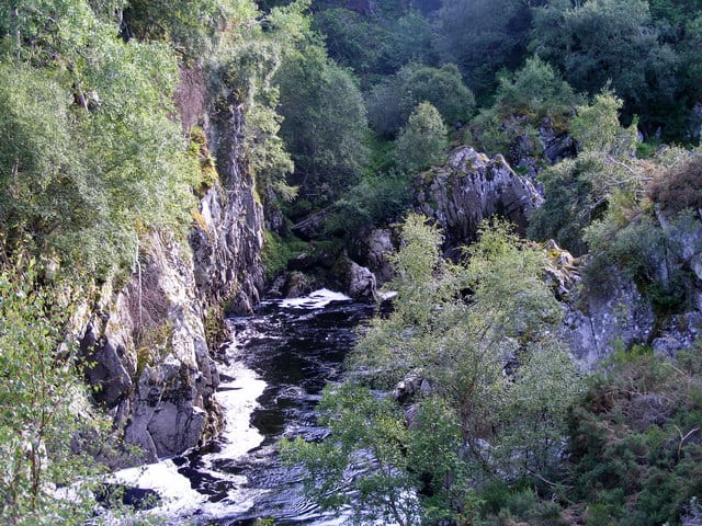
River FindhornRiver · 0.4 mi (about 0.5 mi on foot)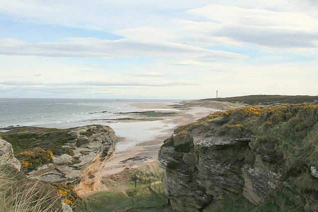 Moray Coast TrailScotland's Great Trail · 0.4 mi (about 0.5 to 0.6 mi on foot)
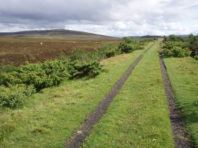 Dava WayScotland's Great Trail · 0.4 mi (about 0.5 to 0.6 mi on foot)
Also nearby
Walking distances are estimates from the straight-line distance and the type of ground, not a measured route. Check a map before you set off.
About Forres Rail Station
Forres, is a historical market town and former royal burgh in the north of Scotland on the Moray coast, approximately 25 miles (40 km) northeast of Inverness and 12 miles (19 km) west of Elgin. Forres has been a winner of the Scotland in Bloom award on several occasions. There are many geographical and historical attractions nearby such as the River Findhorn, and there are also classical, historical artifacts and monuments within the town itself, such as Forres Tolbooth and Nelson's Tower. Brodie Castle, the home of the Brodie Clan, lies to the west of the town, close to the A96.
Hills, trails and walks from the platform
Walking distances are estimates from the straight-line distance and the type of ground, not a measured route. Check a map before you set off.
| Cluny Hill - Nelson Tower | 77m | 0.9 mi (about 1 mi on foot) |
| Grange Hill | 37m | 4.4 mi (about 6 to 6.5 mi on foot) |
| Newtyle Hill | 222m | 4.5 mi (about 6 to 6.5 mi on foot) |
| BurgiehillM | 254m | 4.6 mi (about 6 to 6.5 mi on foot) |
| Romach Hill | 313m | 5.5 mi (about 7 to 8 mi on foot) |
No National Trails within 10 miles.
Route data © OpenStreetMap contributors, ODbL – coverage and route quality vary by area.
| Moray Coast Trail ↗National | 46.1 mi | 0.4 mi |
| Dava Way ↗National | 23.6 mi | 0.4 mi |