





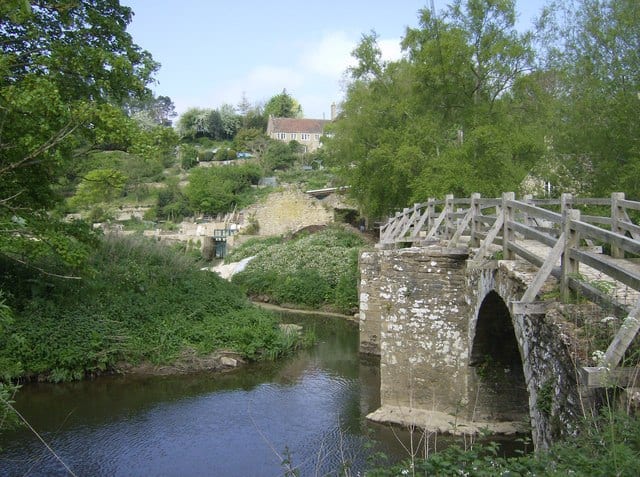
Frome Rail Station
- River
- Disused railway
- Peaks nearby
- 30
- highest 82m
- Walking routes
- 12
- within 10 miles
What's on the doorstep
Walking distances are estimates from the straight-line distance and the type of ground, not a measured route. Check a map before you set off.
About Frome Rail Station
Frome is a town and civil parish in Somerset, England, at the eastern end of the Mendip Hills on the River Frome, 13 miles (21 km) south of Bath. At the 2021 census, it had a population of 28,567.
Source: Wikipedia, CC BY-SA.
Hills, trails and walks from the platform
Walking distances are estimates from the straight-line distance and the type of ground, not a measured route. Check a map before you set off.
| Warren Plantation | 121m | 2.1 mi (about 2.5 to 3 mi on foot) |
| Roddenbury Hill | 176m | 2.5 mi (about 3.5 mi on foot) |
| Buckland Wood | 121m | 3.0 mi (about 4 to 4.5 mi on foot) |
| Park Hill | 247m | 3.7 mi (about 5 to 5.5 mi on foot) |
| Cley Hill | 244m | 3.8 mi (about 5 to 5.5 mi on foot) |
No National Trails within 10 miles.
Route data © OpenStreetMap contributors, ODbL – coverage and route quality vary by area.
| East Mendip Way ↗Regional | 20.1 mi | 0.6 mi |
| Macmillan Way ↗Regional | 250.0 mi | 2.4 mi |
| Mid Wilts Way ↗Regional | 41.8 mi | 5.2 mi |
| Wessex Ridgeway ↗Regional | 137.2 mi | 5.8 mi |
| Imber Range Perimeter Path ↗Local | 30.3 mi | 5.8 mi |