





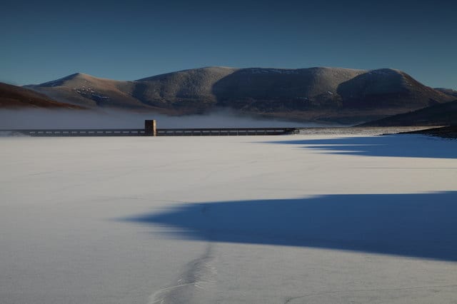
Garve Rail Station
- Wild Land Area
- Peaks nearby
- 30
- highest 83m
- Walking routes
- 4
- within 10 miles
What's on the doorstep
Walking distances are estimates from the straight-line distance and the type of ground, not a measured route. Check a map before you set off.
About Garve Rail Station
Garve is a village on the Black Water river, in Ross-shire, and is in the Highland Council area of Scotland. It is situated 5 miles (8 km) northwest of Contin, on the A835, the main road to Ullapool on the west coast, close to where the A832 branches off towards Achnasheen.
Source: Wikipedia, CC BY-SA.
Hills, trails and walks from the platform
Walking distances are estimates from the straight-line distance and the type of ground, not a measured route. Check a map before you set off.
| Cnoc na h-Iolaire | 355m | 0.5 mi (about 0.7 mi on foot) |
| Carn Faire nan ConM | 370m | 1.3 mi (about 1.5 to 2 mi on foot) |
| Carn Fearna SW Top | 432m | 1.7 mi (about 2 to 2.5 mi on foot) |
| Carn Loch an Tuirc | 469m | 1.8 mi (about 2.5 mi on foot) |
| Creag a' Chaoruinn | 333m | 1.8 mi (about 2.5 mi on foot) |
No National Trails within 10 miles.
Route data © OpenStreetMap contributors, ODbL – coverage and route quality vary by area.
| Two Bridges Trail ↗Local | 2.0 mi | 1.0 mi |
| Rogie Falls Riverside Trail ↗Local | 0.9 mi | 3.4 mi |
| Contin forest and View Rock ↗Local | 2.5 mi | 4.1 mi |
| Muir to Clash Circuit ↗Local | 0.2 mi | 10.0 mi |