





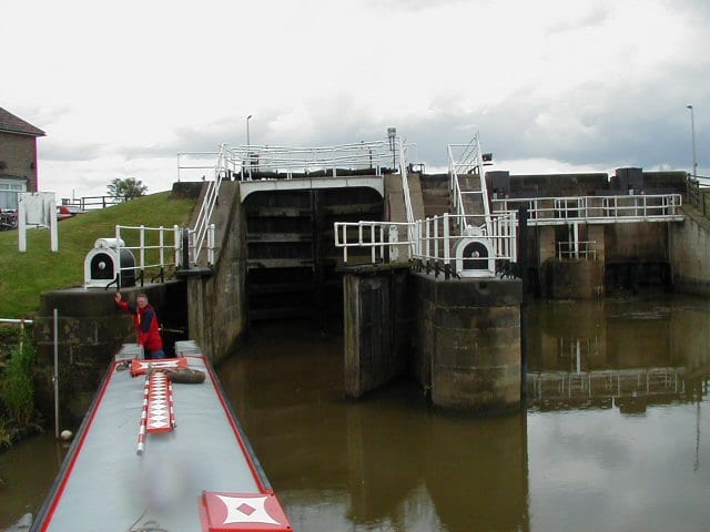
Gilberdyke Rail Station
- Canal
- Peaks nearby
- 9
- highest 77m
- Walking routes
- 7
- within 10 miles
What's on the doorstep
Walking distances are estimates from the straight-line distance and the type of ground, not a measured route. Check a map before you set off.
About Gilberdyke Rail Station
Gilberdyke is a village and civil parish in the East Riding of Yorkshire, England. It is situated approximately 20 miles (32 km) south-east of York and 19 miles (31 km) west of Hull. Gilberdyke lies near to Howden which is 5 miles (8 km) away. It lies on the B1230 road, 1 mile (2 km) south of the M62 motorway. The civil parish is formed by the village of Gilberdyke and the hamlets of Bennetland, Hive, Sandholme and Scalby. According to the 2011 UK Census, Gilberdyke parish had a population of 3,430, an increase on the 2001 UK Census figure of 3,028. The village is served by Gilberdyke railway station with trains operating between Scarborough/Bridlington via Hull to Doncaster and Sheffield, and between Hull and Selby/York.
Hills, trails and walks from the platform
Walking distances are estimates from the straight-line distance and the type of ground, not a measured route. Check a map before you set off.
| Whitton Island | 5m | 3.5 mi (about 4.5 to 5 mi on foot) |
| Walks End Hill | 69m | 6.0 mi (about 7.5 to 8.5 mi on foot) |
| Coleby Wood | 70m | 6.2 mi (about 8 to 9 mi on foot) |
| Church Hill | 47m | 6.4 mi (about 8.5 to 9 mi on foot) |
| Great Wold | 164m | 7.3 mi (about 9.5 to 10.5 mi on foot) |
| Yorkshire Wolds Way ↗ | 81.6 mi | 6.1 mi |
Route data © OpenStreetMap contributors, ODbL – coverage and route quality vary by area.
| Trans-Pennine Trail (Selby to Hull) ↗Regional | 45.7 mi | 2.7 mi |
| Nev Cole Way ↗Regional | 56.1 mi | 4.6 mi |
| Trent Valley Way ↗Regional | 193.5 mi | 5.1 mi |
| High Hunsley Circuit ↗Local | 25.5 mi | 6.1 mi |
| Yorkshire Wolds Way ↗National | 81.4 mi | 6.1 mi |