





Glengarnock Rail Station
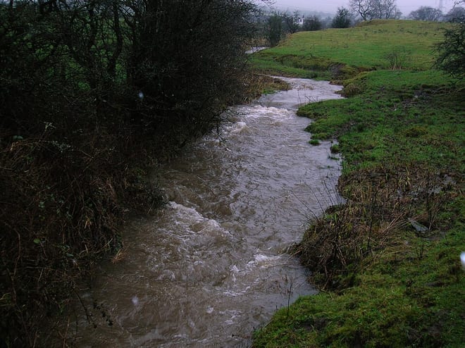
- River
- Disused railway
- Lake or reservoir
- Peaks nearby
- 30
- highest 77m
- Walking routes
- 6
- within 10 miles
What's on the doorstep
Walking distances are estimates from the straight-line distance and the type of ground, not a measured route. Check a map before you set off.
About Glengarnock Rail Station
Glengarnock is a small village in North Ayrshire that lies near the west coast of Scotland. It forms part of the Garnock Valley area and is about 18 miles from Glasgow, the nearest city. The Barony of Glengarnock is one of three baronies which together form the parish of Kilbirnie in the district of Cunningham which lies in north Ayrshire. The River Garnock flows through the village, but the name Glen Garnock applies more specifically to the ravine at Glengarnock Castle, some 4 kilometres north of the village.
Hills, trails and walks from the platform
Walking distances are estimates from the straight-line distance and the type of ground, not a measured route. Check a map before you set off.
| Whin Hill | 122m | 2.3 mi (about 3 to 3.5 mi on foot) |
| Pondery Hill | 119m | 2.5 mi (about 3 to 3.5 mi on foot) |
| Green Hill | 223m | 2.5 mi (about 3.5 mi on foot) |
| Lochlands Hill | 211m | 3.6 mi (about 4.5 to 5 mi on foot) |
| Brownmuir | 201m | 4.0 mi (about 5 to 6 mi on foot) |
No National Trails within 10 miles.
Route data © OpenStreetMap contributors, ODbL – coverage and route quality vary by area.
| Whithorn Way - a Glasgow Cathedral to Girvan ↗Regional | 76.4 mi | 0.3 mi |
| Semple Trail ↗Local | 8.8 mi | 4.0 mi |
| New Town Trail ↗Local | 13.4 mi | 6.4 mi |
| Ladymuir Trail ↗Local | 3.2 mi | 6.5 mi |
| Ayrshire Coastal Path ↗National | 93.2 mi | 6.5 mi |