





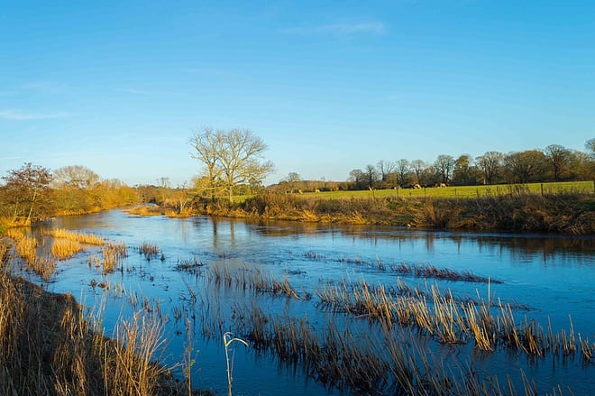
Gillingham (Dorset) Rail Station
- River
- Peaks nearby
- 30
- highest 99m
- Walking routes
- 12
- within 10 miles
What's on the doorstep
Walking distances are estimates from the straight-line distance and the type of ground, not a measured route. Check a map before you set off.
About Gillingham (Dorset) Rail Station
Gillingham is a town and civil parish in the Blackmore Vale area of Dorset, England. It lies on the B3095 and B3081 roads, approximately four miles south of the A303 trunk road and five miles northwest of Shaftesbury. It is the most northerly town in the county.
Source: Wikipedia, CC BY-SA.
Hills, trails and walks from the platform
Walking distances are estimates from the straight-line distance and the type of ground, not a measured route. Check a map before you set off.
| Duncliffe Hill | 210m | 2.4 mi (about 3 to 3.5 mi on foot) |
| Little Hill | 249m | 3.7 mi (about 5 to 5.5 mi on foot) |
| Long Hill | 165m | 4.0 mi (about 5 to 6 mi on foot) |
| Zeals Knoll | 183m | 4.5 mi (about 6 to 6.5 mi on foot) |
| Coneygore Hill | 153m | 5.0 mi (about 6.5 to 7 mi on foot) |
No National Trails within 10 miles.
Route data © OpenStreetMap contributors, ODbL – coverage and route quality vary by area.
| Stour Valley Way ↗Regional | 66.5 mi | 0.8 mi |
| Monarch's Way ↗Regional | 573.3 mi | 3.5 mi |
| Mid Wilts Way ↗Regional | 41.8 mi | 3.9 mi |
| Melbury Beacon walk, Fontmell and Melbury Downs ↗Local | 2.0 mi | 5.6 mi |
| Wessex Ridgeway ↗Regional | 137.2 mi | 5.8 mi |