





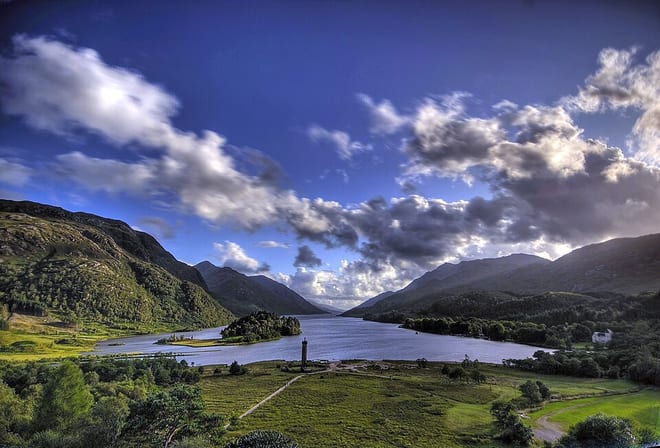
Glenfinnan Rail Station
- National Scenic Area
- Lake or reservoir
- Special Area of Conservation
- Wild Land Area
- Peaks nearby
- 30
- highest 98m
- Walking routes
- 6
- within 10 miles
What's on the doorstep
Loch ShielNational Scenic Area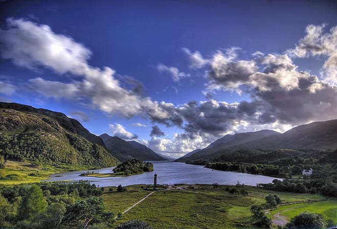 Loch ShielLake or reservoir · 0.3 mi (about 0.4 mi on foot)
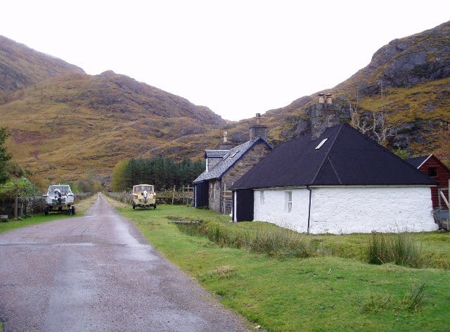 Kinlochhourn - Knoydart - MorarWild Land Area · 0.5 mi (about 0.6 to 0.7 mi on foot)
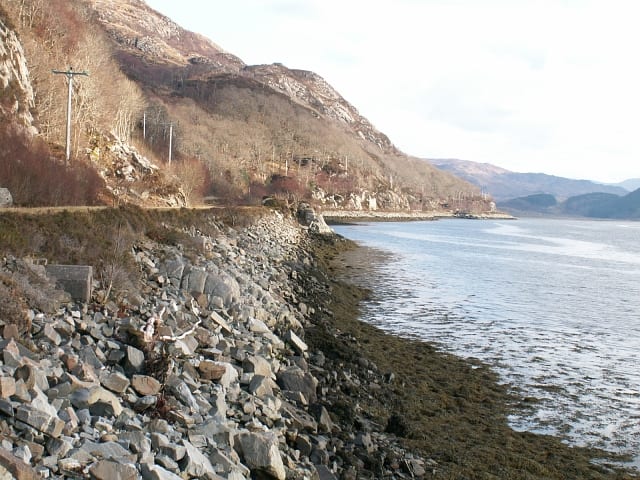 Moidart - ArdgourWild Land Area · 0.8 mi (about 1 mi on foot)
Also nearby
Walking distances are estimates from the straight-line distance and the type of ground, not a measured route. Check a map before you set off.
About Glenfinnan Rail Station
Glenfinnan is a hamlet in Lochaber area of the Highlands of Scotland. In 1745 the Jacobite rising began here when Prince Charles Edward Stuart raised his standard on the shores of Loch Shiel. Seventy years later, the 18 m (60 ft) Glenfinnan Monument, at the head of the loch, was erected to commemorate the historic event.
Source: Wikipedia, CC BY-SA.
Hills, trails and walks from the platform
Walking distances are estimates from the straight-line distance and the type of ground, not a measured route. Check a map before you set off.
| Torr a' Choit | 98m | 0.7 mi (about 1 mi on foot) |
| Druim na h-Aire | 178m | 1.1 mi (about 1.5 mi on foot) |
| Meall na h-Airigh | 443m | 1.3 mi (about 1.5 to 2 mi on foot) |
| An t-Sleubhaich | 533m | 1.4 mi (about 2 mi on foot) |
| Meall a' BhainneM | 559m | 1.5 mi (about 2 mi on foot) |
No National Trails within 10 miles.
Route data © OpenStreetMap contributors, ODbL – coverage and route quality vary by area.
| Glenfinnan Viaduct Trail ↗Local | 1.3 mi | 0.0 mi |
| Cape Wrath Trail (Fort William → Glenfinnan → Morvich) ↗National | 71.2 mi | 0.4 mi |
| Pinewood Trail ↗Local | 0.6 mi | 0.6 mi |
| Dragonfly Trail ↗Local | 0.4 mi | 0.6 mi |
| Sgurr na Ciche Trail ↗Local | 10.6 mi | 8.1 mi |